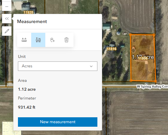
I have had several end users state that they wish they had the "old" measure tool where they could make multiple measurements and those measurements persisted in the map. Or if there were multiple line segments that the measurement for each line segment was reported. Currently, if you click on the "New measurement" button, the previous measurement disappears. If there are multiple line segments, you only get the total length of the line.
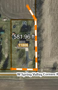
For measure Area, only the area is displayed or printed on the map. My users would like the area and the perimeter. Well, except that when you select "acres" the sometimes the perimeter defaults to miles and they would like to be able to choose feet.