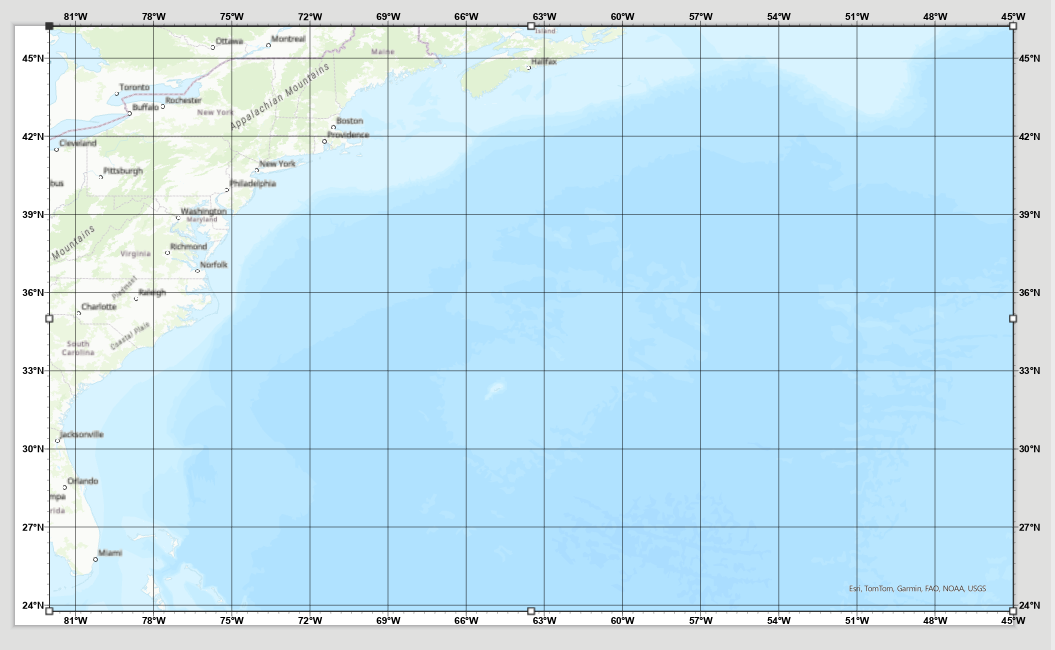
I have a image generator script but there is an issue with the outputted image. When it creates the layout it includes parts of the map beyond the extent. And even when I go into arcpro manually and enter the extent in the map properties it still shows beyond the defined extent. I am wondering if that is just how arcpro works or is there a way to get around it. Bellow is the layout and you can see how on the top and bottom it it shows beyond what I have set, the extent is:
Top: 45.0000000°N
Left: 82.0000000°W
Right: 45.0000000°W
Bottom: 25.0000000°N