I am trying to view a CAD file in ArcGIS Pro, similar to how I did it in ArcMap. I open the .dwg in Catalog and bring in the Polyline and Annotation to my map.
From an ArcMap perspective, I would then open the properties, go to the Drawing Layers tab and check only the desired layers from the CAD file for both the Polyline and Annotation features.
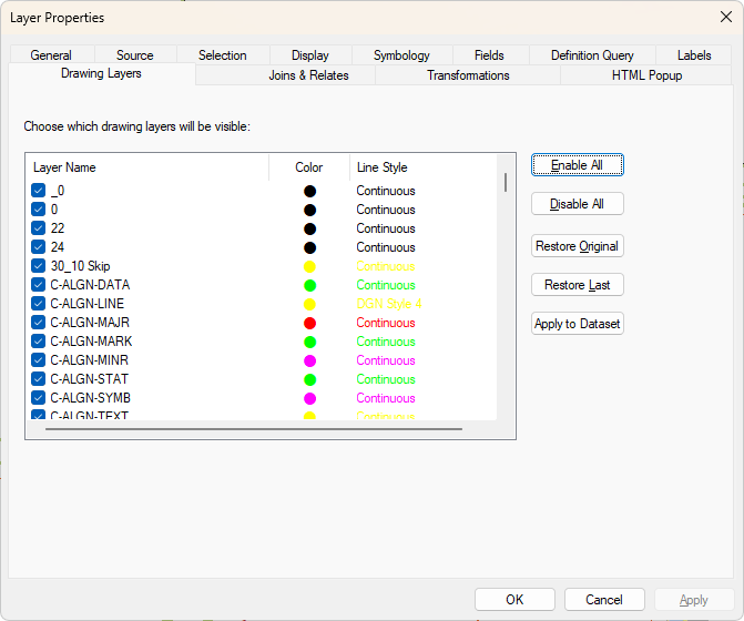
Back in ArcGIS Pro I am trying to replicate this same process because these CAD files inevitably have way too much turned on than I need to see. So far I have not been able to find anywhere I can do this in Pro. If someone could point me in the right direction to accomplish this, I would be very much appreciative.


