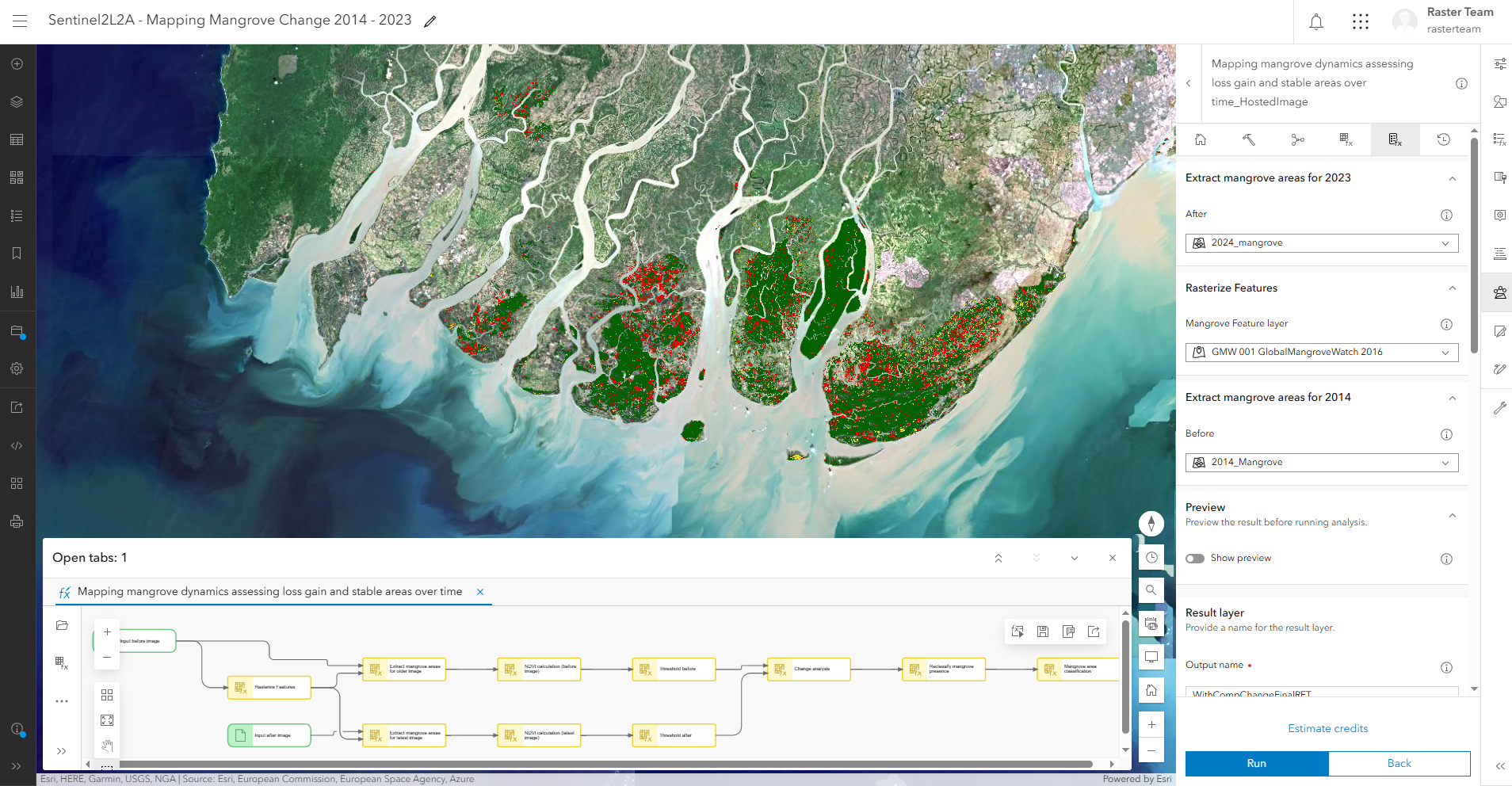
We're excited to announce that a selection of ready-to-use imagery in the ArcGIS Living Atlas of the World have been optimized for raster analysis. Users can perform analysis directly on national and global-scale imagery, such as Sentinel-1, Sentinel-2, Landsat, and NAIP, in ArcGIS Online. This allows them to analyze much larger areas without restrictions. This enhancement unlocks powerful workflows such as change detection and land cover classification for applications like environmental monitoring or disaster response—without the need to download or manage raw imagery.
Read this blog for more information: Explore Ready-to-Use Imagery for Analysis