The running of an Experience Builder 3D scene with a Fly Controller performs problematically different in Edge and Chrome. I'm using "Plan Routes" The initial view using Edge is what would be expected as shown below with the start pin. But Chrome behaves badly.
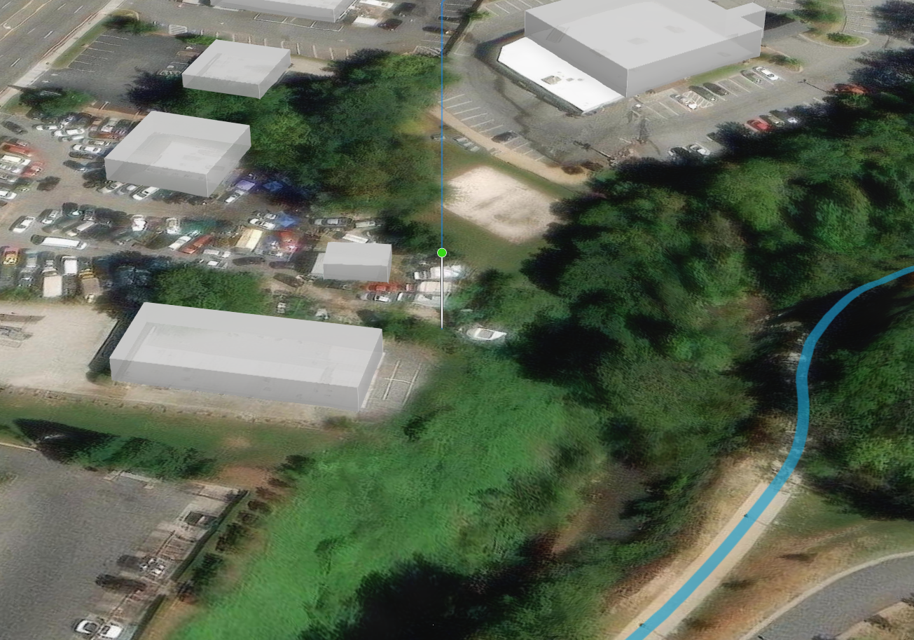
When I run it in Chrome, the start point is not the start point of the path but zoomed into ground level.
I tried working around this issue in Chrome by adding a point to the route and set it for 0 seconds and 0 degrees rotation. But it zooms to an off center location shown here in Chrome. The last screen shot is in Edge
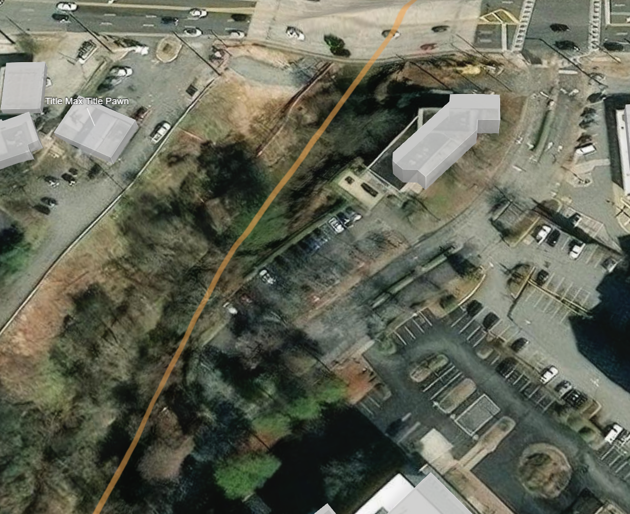
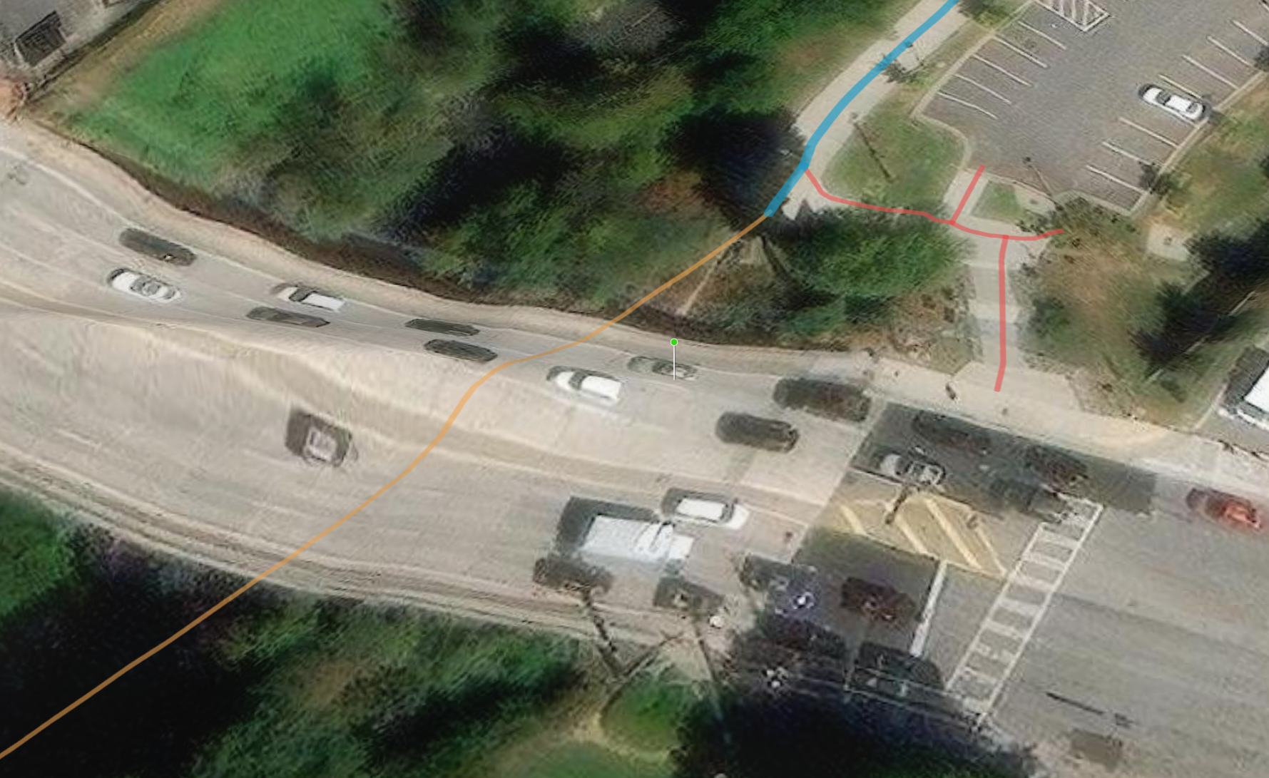
What is road path for this widget. It would be nice to have:
* For points to specify an elevation
* For "Plan routes", more control on the nodes of the route. I don't understand how the turning performs and if the turns at nodes can be customized.
* When changing the "Plan routes" elevation, the starting and ending point angle is such that one doesn't get a good perspective of the ground. One can combine points here but with the Points stuck on the ground, the combination of point and path is not ideal.
* When setting a message action to extent changes, provide an option to set the scale.
* Add extent indicators such that when one is flying through a scene, an extent indicator on a map inset moves with the fly through.
Lastly, I can find only a single Esri video on the Fly Controller Widget. Is it covered in other videos. It would be nice to have a tutorial for each widget and for the tutorial to cover what it can do and also the limitations.
Thanks.

