Hello QuickCapture Team and/or @JohnathanHasthorpe ,
We recently discovered that QuickCapture's LocationTracking is limited to every 10 minutes. Even when editing the JSON to a lower interval, the project is restricted to none at all or 10min minimum.
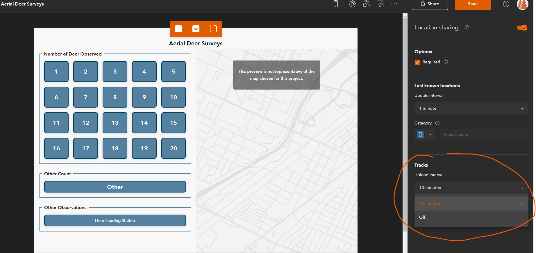
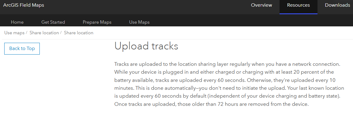
For those using QuickCapture in the field, it's imperitive that they can view their current location tracks on the map. We desprately need this solution to be equivilant with how ArcGIS Field Maps handles uploading Location Tracks:
Currently we're using QuickCapture to conduct Aerial Deer Count surveys via helicoper. It's crucial that our team can see the area they've covered in real time.
Is this planned for a future update? If not, is there someone we can speak with and provide all our use cases?
Thank you,
Amanda Huber



