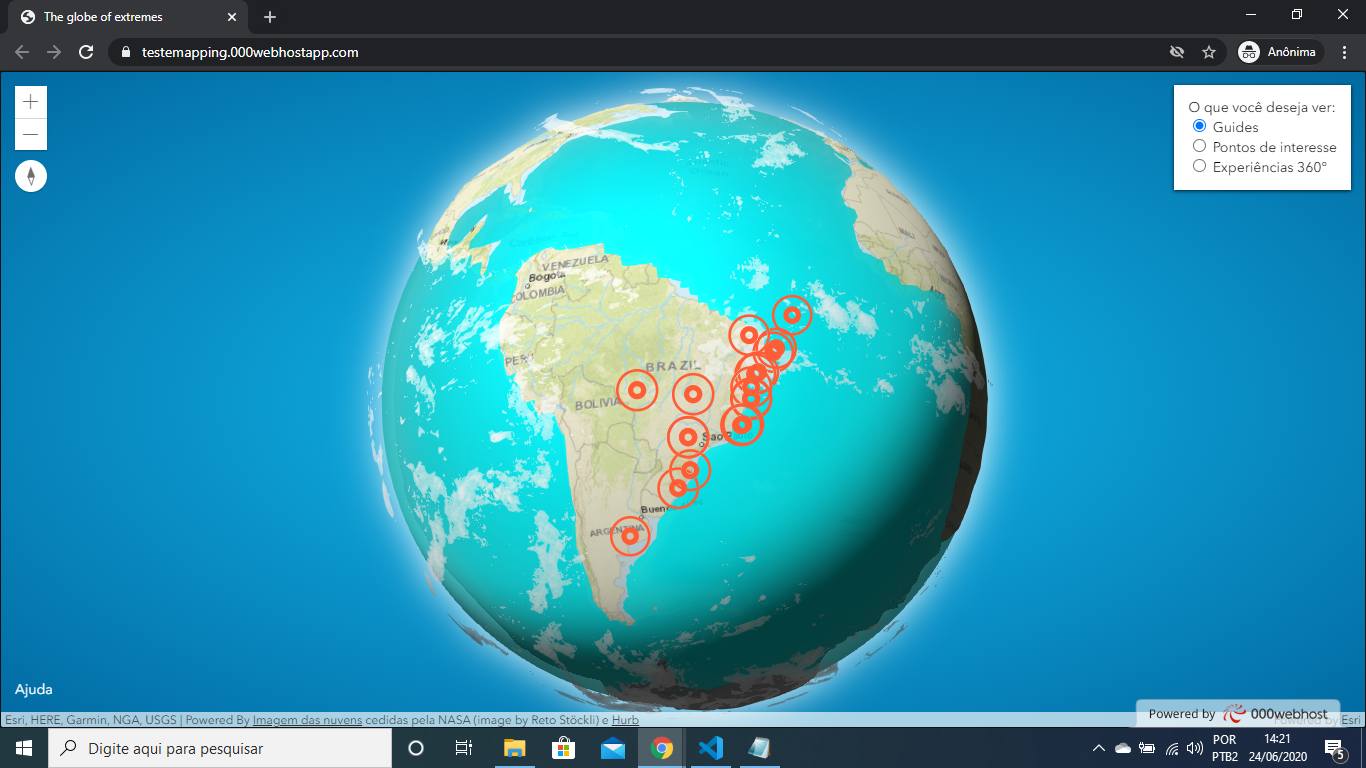
Hello guys, I'm using this tutorial as a base: https://www.esri.com/arcgis-blog/products/js-api-arcgis/3d-gis/interactive-3d-globe/ my doubt is how to add a grouping of the added points. I already tried to use the clustering system that is in the documentation and it was not effective for me

This is the markers code:
 const extremesLayer = new GeoJSONLayer({
 url: "extreme-points.geojson",
 elevationInfo: {
 mode: "absolute-height",
 offset: offset
 },
 copyright: "Powered By <a href=\"https://visibleearth.nasa.gov/view.php?id=57747\" target=\"_blank\">Imagem das nuvens</a> cedidas pela NASA (image by Reto Stöckli) e <a href=\"https://hurb.com\" target=\"_blank\">Hurb</a>",
 renderer: {
 type: "simple",
 symbol: {
 type: "point-3d",
 symbolLayers: [{
 type: "icon",
 resource: { primitive: "circle" },
 material: { color: [0, 0, 0, 0] },
 outline: { color: [245, 99, 66, 1], size: 4 },
 size: 10
 }, {
 type: "icon",
 resource: { primitive: "circle" },
 material: { color: [0, 0, 0, 0] },
 outline: { color: [245, 99, 66, 1], size: 2 },
 size: 30
 }]
 }
 },

how to add a cluster? help me pls Sorry for bad English