Hi everyone,
I’m working on a project using LiDAR data to scan lines, and I’ve run into a challenge I hope someone here can help with.
Long story short: the line wires were not connected, so I extended the parallel lines by 5m and generated points where the extended lines intersect. However, I’m now stuck trying to figure out how to cut the lines at these intersection points and remove the small, useless segments that were created by the extension.
Here’s an example image of the situation:
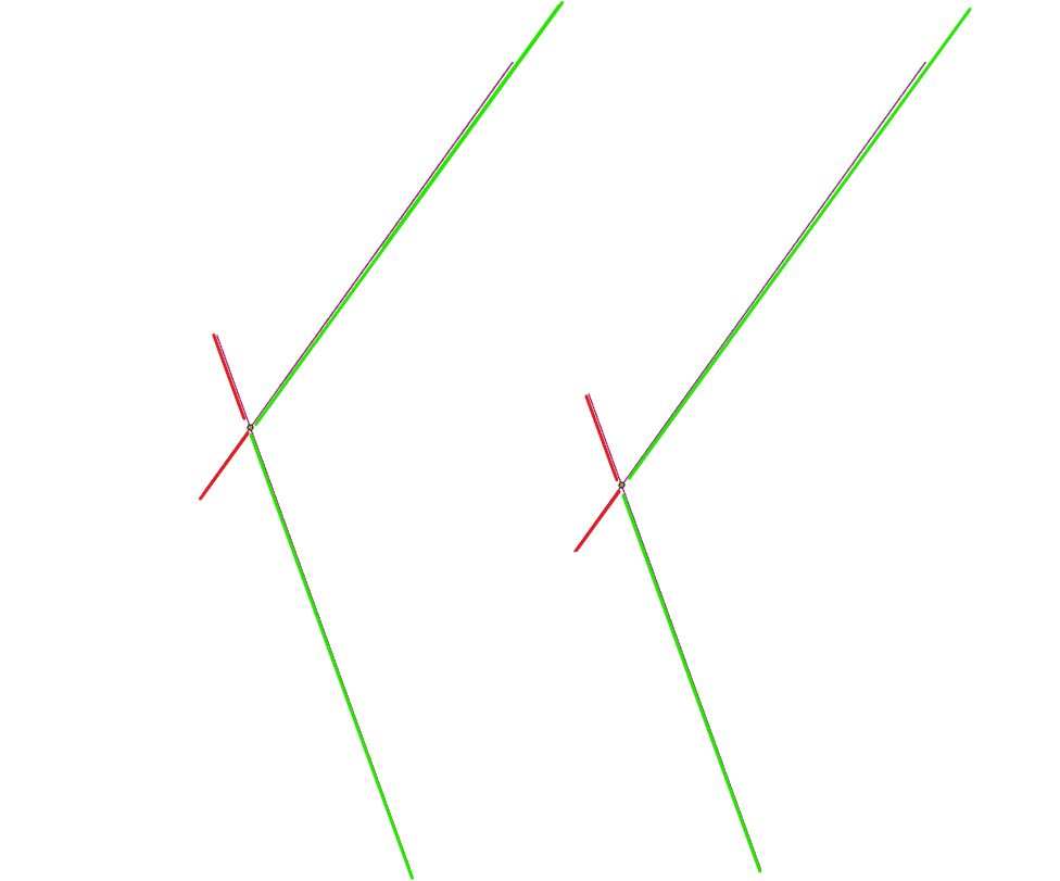
Does anyone have ideas or tips for automating this process using Python? Any help or pointers would be greatly appreciated!
P.s. I don’t have the license to use the Split Line At Point tool.
Thanks in advance!
Best regards,
GIS_Rookie


