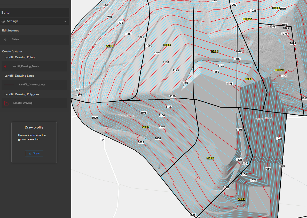
I created a 2D Experience Builder web map of our landfill using orthophotos, hillshade, colorized surfaces, and contours.
Example photo:
My boss asked me if I could make one that is 3D like google earth, with the ability to tilt and fly over.
I am looking for advice on what to do.
I have already published my data in AGOL as tile layers from Arc Pro but they were 2D files.
Should I use these files in Scene Viewer, or should I convert the files to 3D files in Arc Pro them publish them again online and put those files in Scene Viewer?
Is Scene Viewer the best place to make a 3D web map. I saw that Experience Builder has a few 3D tools so what is your preference?
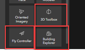
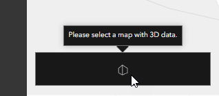
As I side note I tried adding these tools from experience builder but they all said "please select a map that contains 3D data":
What will give me the best results?
Thank you.
