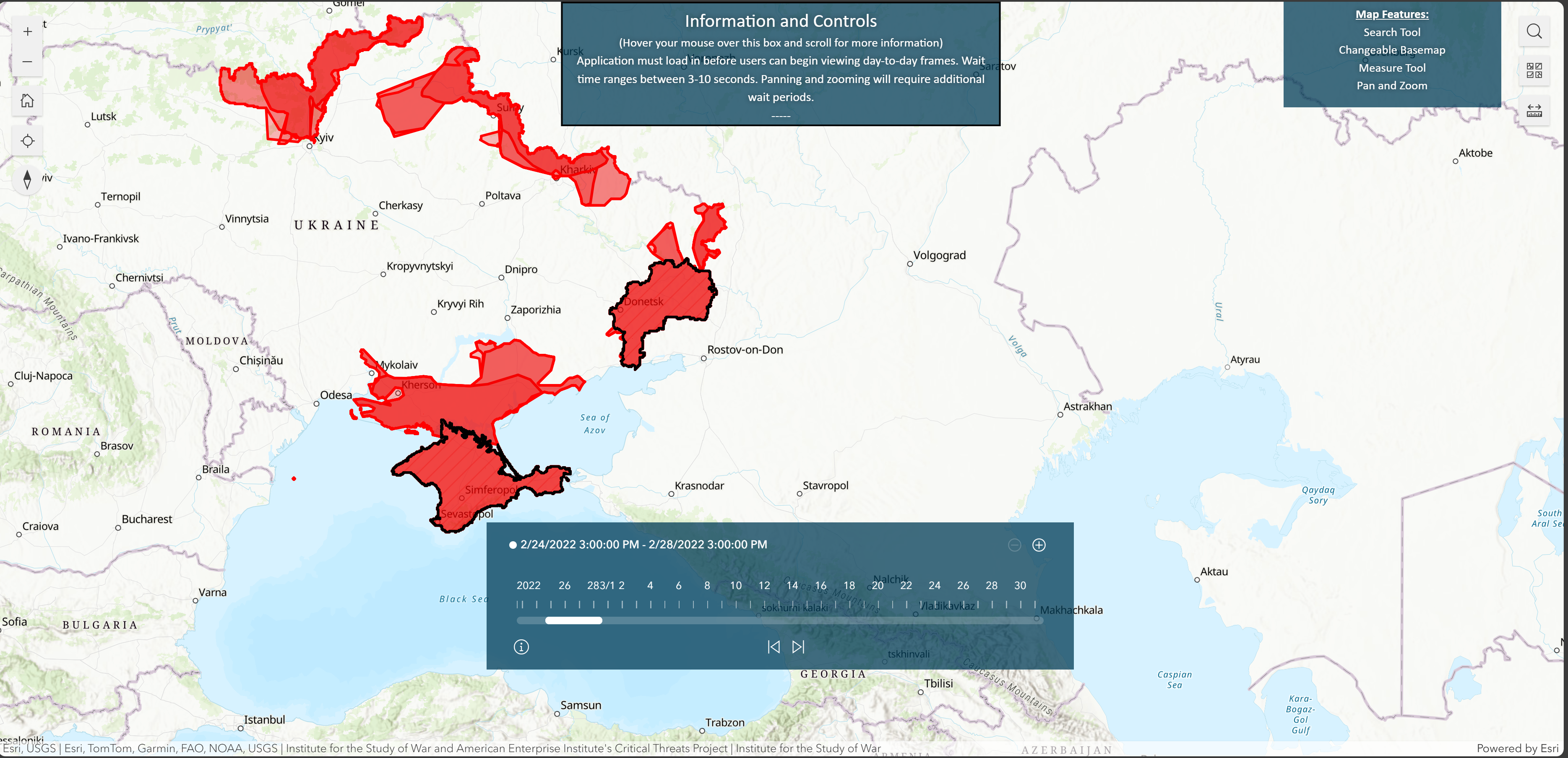
I am a user of the publicly available ArcGIS map https://experience.arcgis.com/experience/c5eeec0f7ce5469ab6fc70176327fb0e/
My task is to determine the area of red/blue shared complex polygons depicted on the map; an example is shown below. So far, I have been using the map's ruler icon to estimate the area (in sq km/miles). Is there a quicker way to do it? I would not believe that the map's developers, if asked, would share the underlying dataset. I would appreciate your insights very much!