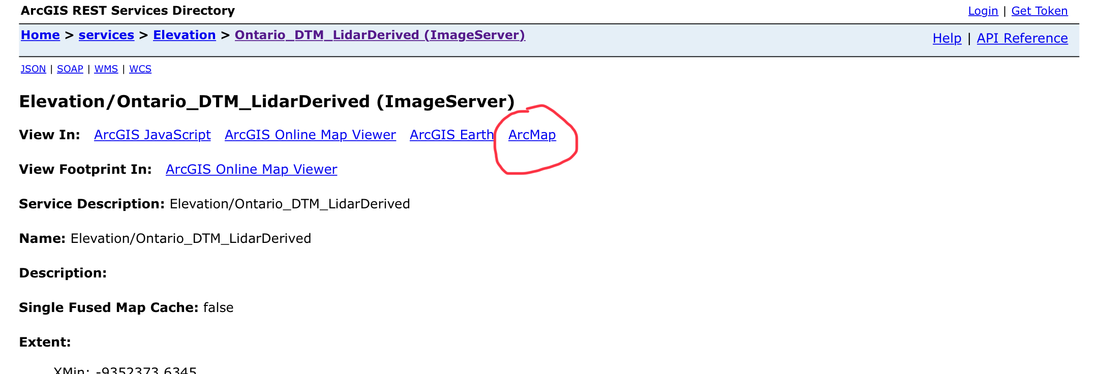
https://ws.geoservices.lrc.gov.on.ca/arcgis5/rest/services/Elevation/Ontario_DTM_LidarDerived/ImageServer
ArcGIS Online > ArcGIS REST Services Directory > ImageServer > View In:
There are several hyperlinks on that page—various methods to access the data. One of the links is an ArcMap link. As a novice who knows nothing about AGOL (or Portal?), why is there an ArcMap link, but not an ArcGIS Pro link? Should that page be enhanced so that there is a ArcGIS Pro option?
Hi @Bud - do your options change if you log in? What version of ArcGIS Server is this? It looks like it should be available based on this doc. Otherwise, maybe the administrator may need to Edit the Services Directory to enable it.
Sign in to post, follow content, and more. New here? Register for free.