Hello,
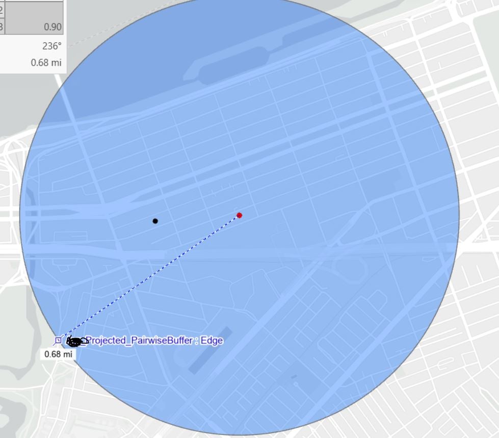
I am using ArcGIS version 3.3 and have encountered an issue. I created a 0.5-mile buffer around a point, but when I use the "Measure Distance" tool to check the distance, it shows 0.68 miles. My layer is projected in State Plane NAD1983 FIPS 2001. Could you please advise on how to resolve this discrepancy? Any assistance would be greatly appreciated.
Best,
Yesim