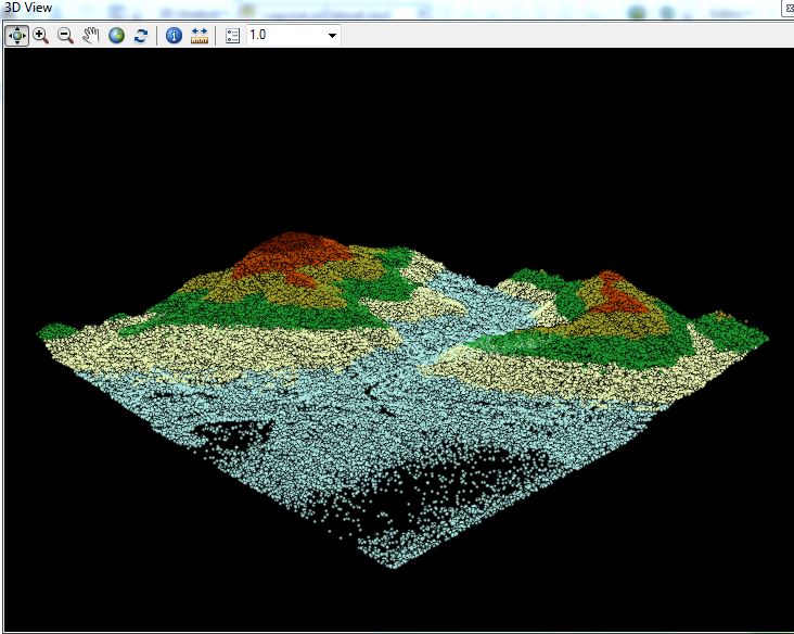
I'm trying to view Lidar data in arc gis pro 1.3. I've done this in arc map using the LAS dataset toolbar and clicking on the 3D view button. Here's how it looks in arc map:
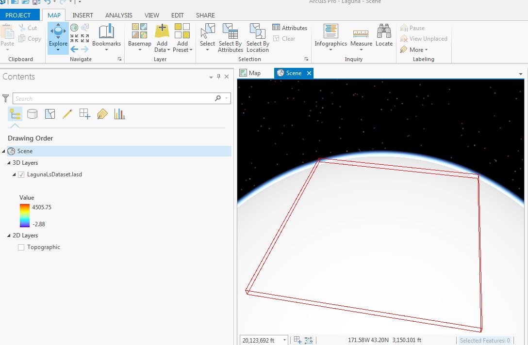
Here's what I see in arc gis pro. I added my LAS dataset to a Scene in arc gis pro. I get a red bounding box for the point cloud, but as I zoom in, I never see the point cloud displayed like I see it arc map. Does ArcGIS Pro 1.3 offer a similar experience to the 3D View on the LAS Dataset toolbar in ArcMap? I do have the 3D Analyst extension enabled in arc gis pro.