I am trying to convert the Dem raster to the las data. The las has been converted but the dem data after converting it into the raster to point, i have projected it to WGS 84 UTM 44N and carried out til the las generation. Now the las file created is projected on the sea whereas my raster to point shapefile is on the correct location.
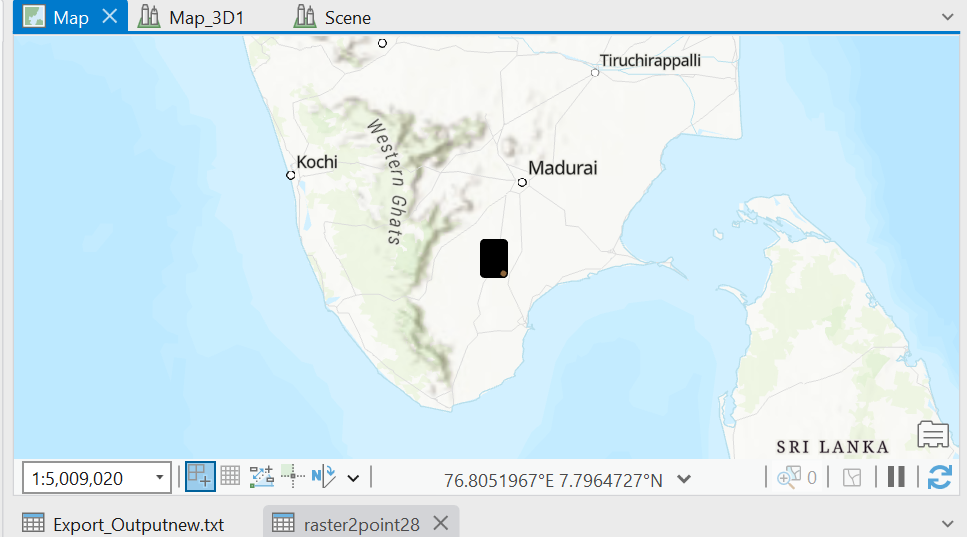
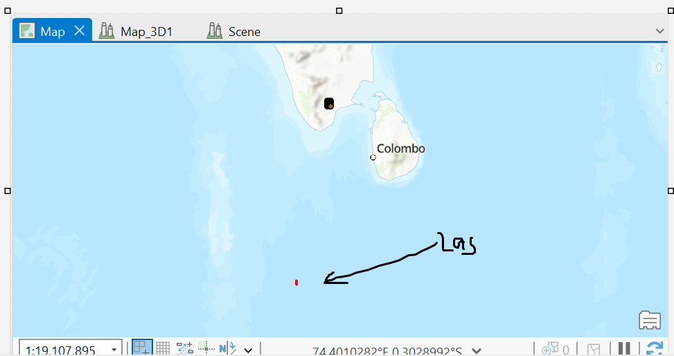
I tried everything i dont know how to make the las lie on the exact place.

