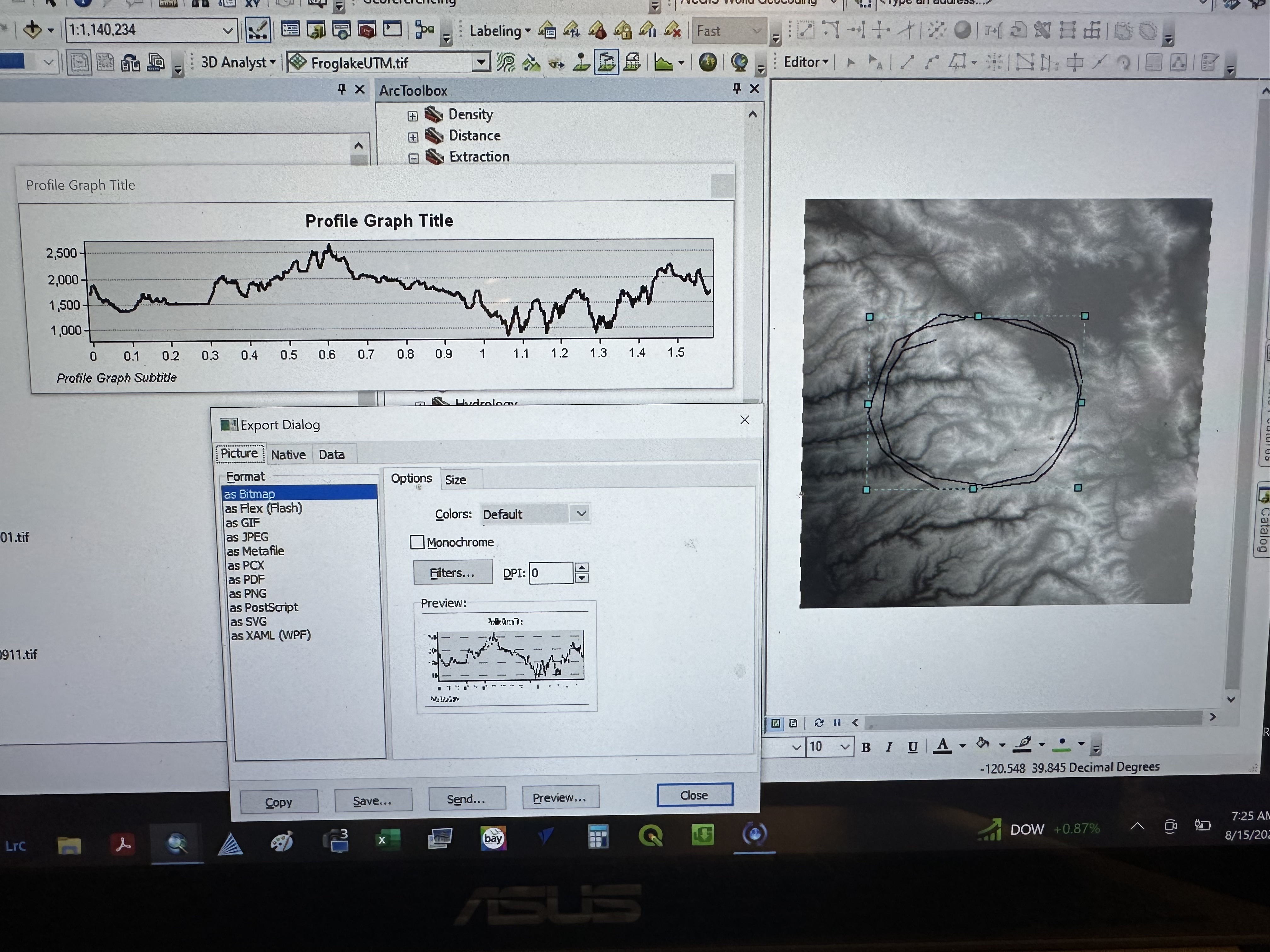
Hi - I need to extract a "cross section" (elevation profile) along a circle around a volcano. In ArcGIS Desktop 3D analyst (10.8) there was an "interpolate 3D line" tool that allowed you to draw a line on a DEM and then it would generate a graph along that line that you could export to Excel. Does anyone have any idea how I could do this in ArcGIS Pro?