I am VERY new to GIS. I have only been going off of Esri courses, online forums, and random YouTube videos, so thank you in advance to anyone who helps me with what is probably a very basic concept to others.
This project was started by the person in the position before me, so I am using her data, which is where this map comes from.
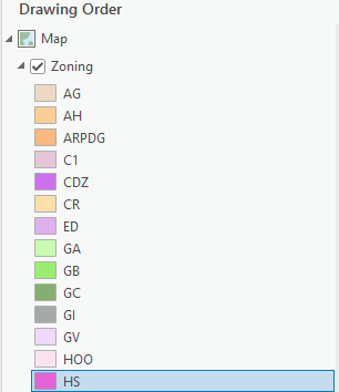
I'm trying to change one parcel in our Zoning map to a different zone. The parcels are all in the "Parcels" layer and the Zone colors are in the "Zoning" layer. Here's a screenshot of what the "Zoning" layer looks like.
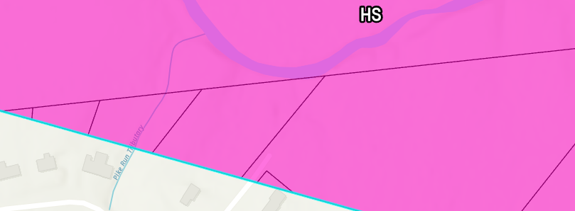
Here's a screenshot of the area. The three triangle-shaped parcels all the way on the left and the tiny triangle on the bottom middle are what need to changed from the "HS" zone to the "AG" zone. When the specific parcel is selected in the attribute table of the "Parcels" layer, I can't change the symbology of the one parcel to the color of the different zone in the "Zoning" layer.
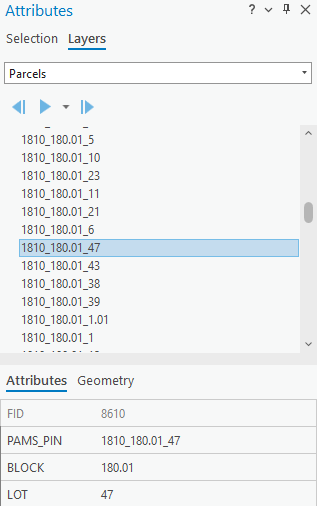
Do I have to modify the coordinates of the "HS" attribute in the "Zoning" layer to exclude these parcels? Or is there any way to just highlight the parcel and change the symbology of the parcel to the symbology of the "AG" attribute in the "Zoning" layer? What's the simplest way to do it? This is something I probably will find myself doing a bit, so I'd like to familiarize myself with it ASAP.
Let me know if more context is needed. Again, this may be a very basic concept, but I appreciate any guidance!



