I have an exhibit map that I need to create and it contains an old image.
The location currently has the previous buildings demolished and is a vacant lot, this is shown as on google maps. See below (Violin Canyon Rd & Van Gorder Way):
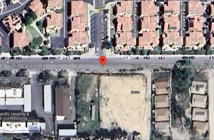
This was addressed to me a couple of months ago and I explained that according to an ESRI source on Google the ESRI imagery data will update every 3 weeks. However this has not been the case for this area.
Here is the same location using Arc Pro's default basemap imagery even after the 3.3 update:
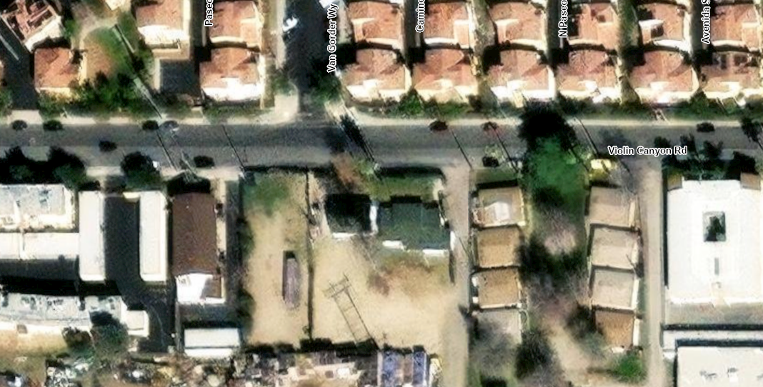
Any advice would be greatly appreciated. I am considering screenshotting Google Maps and adding it to the map product, something I do not wish to do.


