I would like to request a "Visibility Range" function to be added to the Extent Indicator property options. It would have a Maximum Scale and Minimum Scale range.
This functionally was recently added to "Scale Bar" in ArcGIS Pro 3.3.0
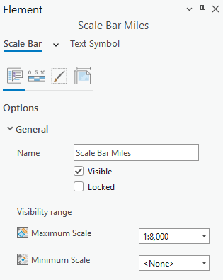
I have a map series which displays districts in the county. Before the update to the Scale Bar, I would have to manually change the map units from miles to feet when a district feature's scale bar would display 0 to 0 miles. I would change it to feet and it would display 0 to 200 feet for example. Now with the update to the Scale Bar, I can set a Scale Bar with miles at a certain scale and a Scale Bar with feet at another scale so the map series will display the correct scale bar depending on the scale of the district shown. So happy!
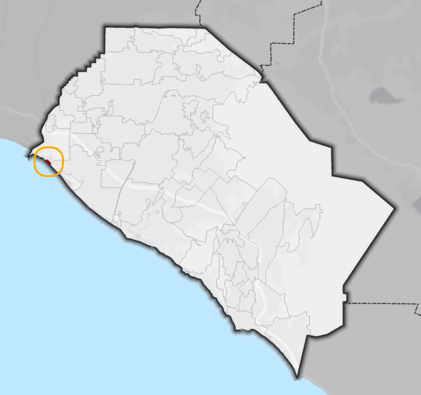
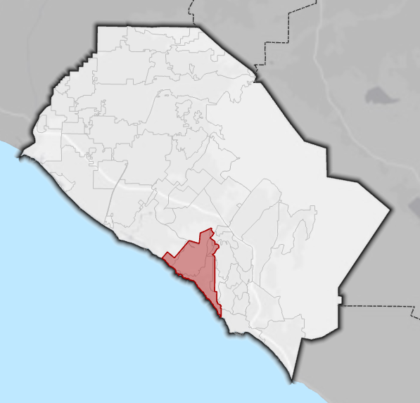
I am having a similar issue with the Extent Indicator. I have an inset map which shows the location of the district drawn in red on the county map. Some of these smaller districts appear as a red speck on the inset map. To help the viewer see this area on the inset map, I turn on extent indicators which draws an orange circle around the district. With most districts, I turn the extent indicator off as it is easily seen on the inset map. If a Visibility Range was added to Extent Indicator I can run the map series without manually turning on the extent indicator for these smaller districts similar to the Scale Bar which was just updated.