Hello all,
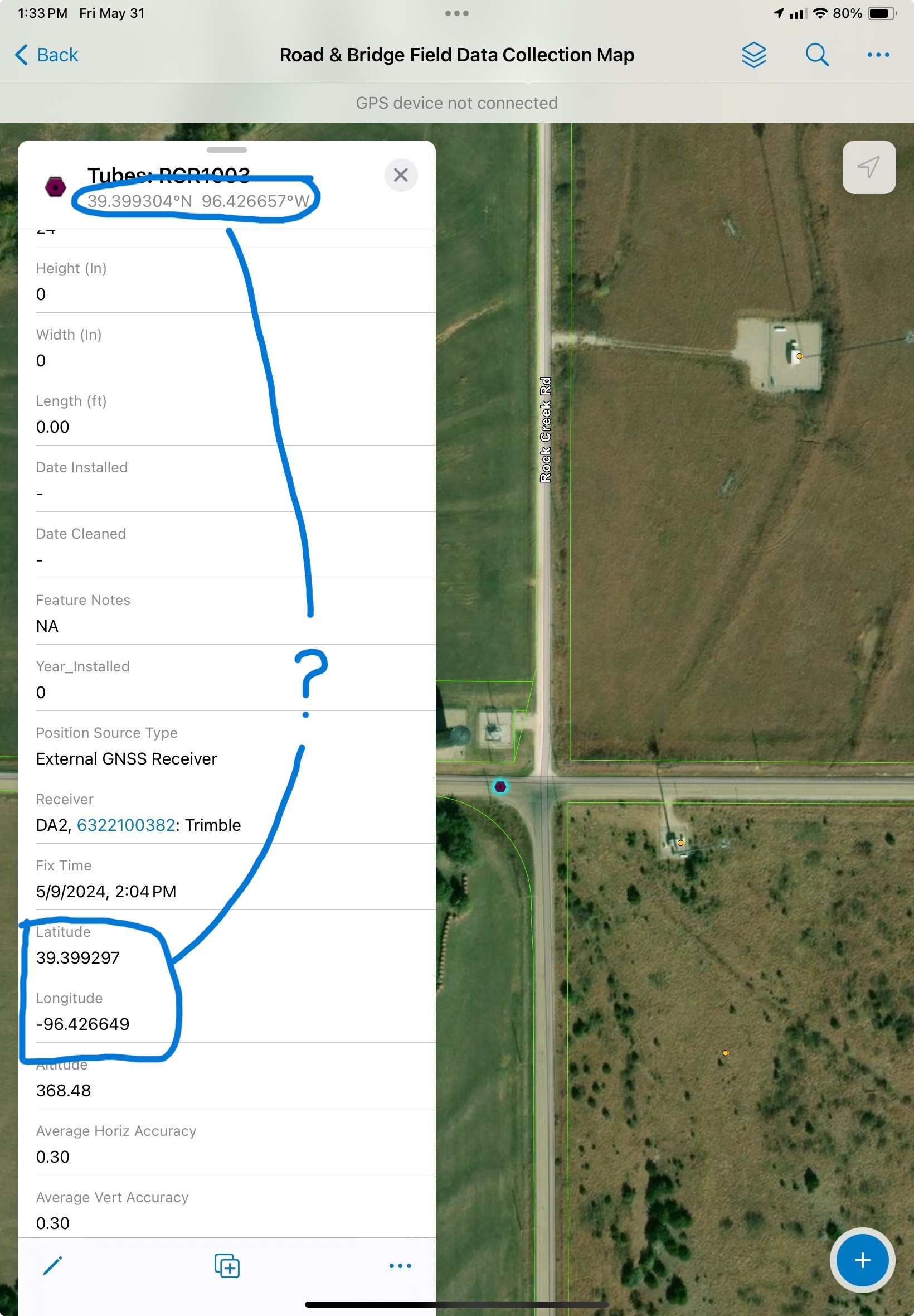
My organization recently purchased an external receiver for field data collection. I've been experimenting with a workflow for updating our existing points with more accurate gps data. I set up Field Maps based on a map of existing points. I then updated some of those points with our new gps receiver in the field. Now when I look at those points in Field Maps I see two different Lat/Long coordinates, shown below. Has anyone else seen this happen, and why are the values different? (I believe the values shown in the table are correct, as per our GPS unit; I don't know where the values in the sub-header are derived from).
Thanks for the help.