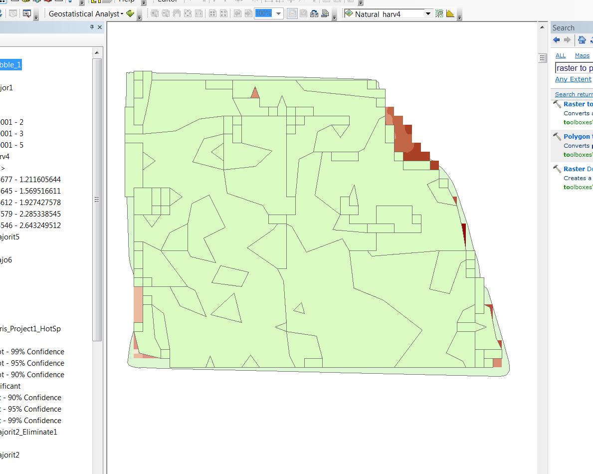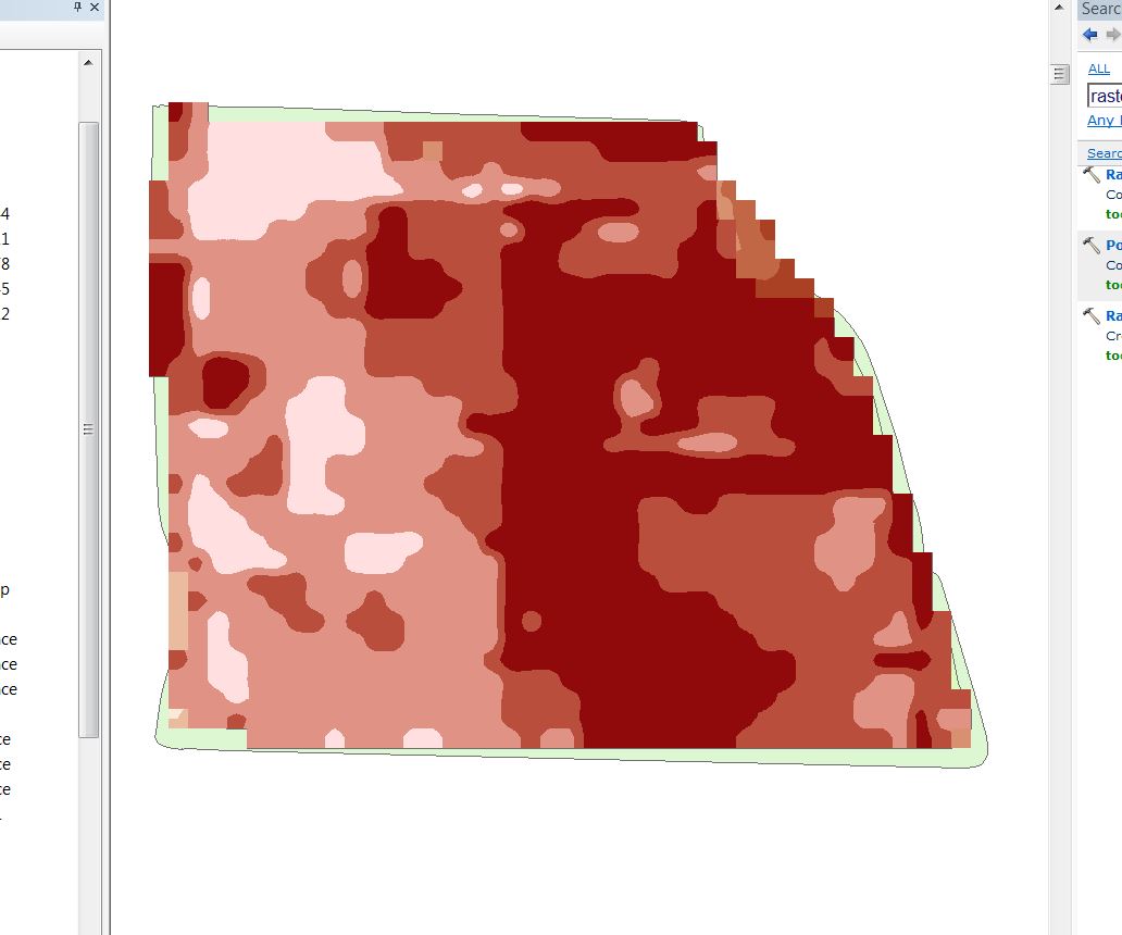
I am using ArcGIS 10.2 in order to create soil management zones for farmers. The above image represents realistic looking management zones however when I use the raster to polygon tool it create small triangles and very unrealistic looking zones. See image below. I have used the smooth polygon tool, as well as the nibble, focal statistics and majority filter while the files is still a raster in order to reduce the number of zones. Any ideas on an effective way to do this?
Thanks