Good Morning,
I am fairly new to editing in the Parcel Fabric. One issue I can't seem to get around is that for my platted lands layer, I have surveys that do overlap from time to time, whether it's a split or merge or boundary line verification, etc...
I do not want to set any of the platted lands to historic because there are many people who use these layers to help them in their research (surveys, title companies, attorneys, etc).
Is there a way to allow the features to overlap and work properly in the parcel fabric without setting them to historical? The only scenario I would set to historical is if the survey indicates it's a Replat or Correction of a previous survey.
Our current Platted lands has the Original survey metes and bounds
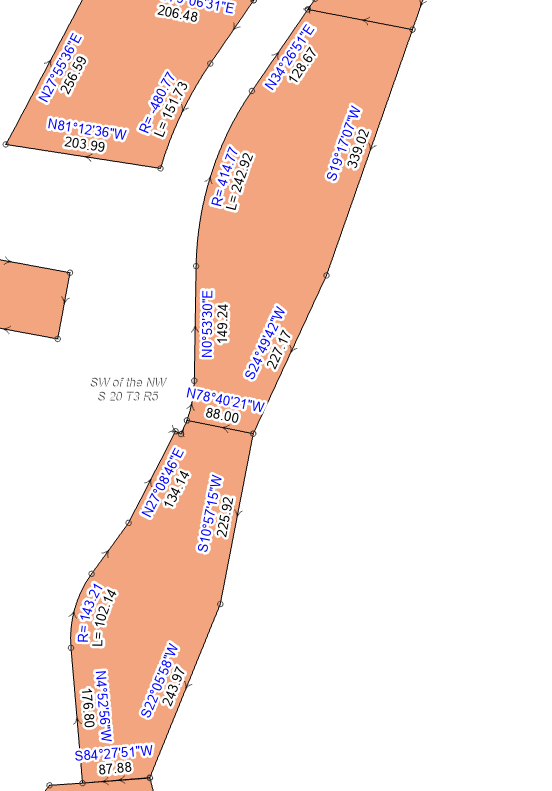
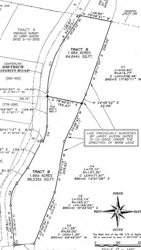
Here is a clip of the Original from 2002:
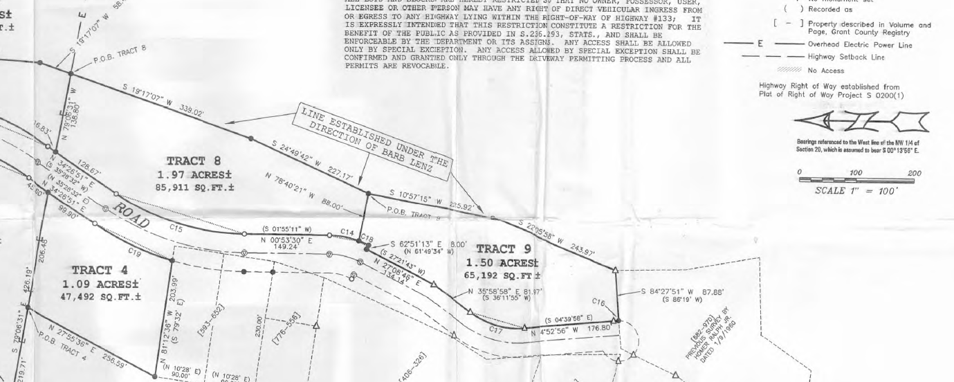
Here is another survey from 2013:
Thank you in advance!




