I'm learning ArcGIS 3.2, thank you in advance for any help you can provide. I think this is a pretty simple question and I am just doing something wrong.
I'm using data from https://www.census.gov/geographies/mapping-files/time-series/geo/tiger-data.2019.html#list-tab-1656998034
When I download these Geodatabases and import them into ArcGIS, I see the .GDB in the catalog pane, and the metadata says that this data contains a bunch of different variables I should be able to use (which should contain margins of error). There is one object (file geodatabase feature class), that I am adding to the map but when I open the attribute table the attributes/variables I would expect to see aren't there.
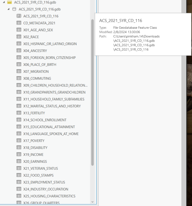
I'm right clicking and adding the ACS_2021_5YR_CD_116 'file geodatabase feature class' to the current map and then opening the attribute table, where all I seem to get are fields about the polygon:

In the metadata there are tons of variables most of which give an estimate and margin of error. My goal is to just get two of these columns into the attribute table to that I can map uncertainty for a certain variable.
Link to metadata: https://www2.census.gov/geo/tiger/TIGER_DP/2019ACS/Metadata/STATE_METADATA_2019.txt



