Hi. I'm trying to figure out how to scale an image to the real world using visualVariables.
VisualVariables:
{
type: "size",
field: "WIDTH",
valueUnit: "meters"
},
Graphic A:
- latitude: 51.27498953565823
- longitude: 4.334665991886453
- width: 100
Graphic B:
- latitude: 70.4059597
- longitude: -22.488634
- width: 100

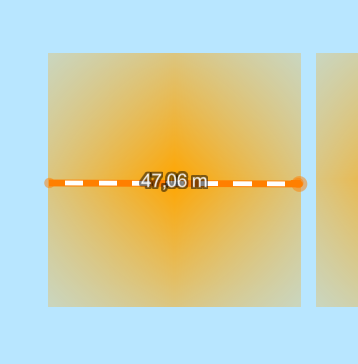
Both images have a width of 100 (in meters). The image is a base64 string with ratio 1x1 (1px). And using visualVariables I would think these 2 images would have the same width/distance being 100 in meters or a scale taking the image ratio of 1x1 into account.
Can someone help me to calculate the correct scaled width based on geodesic and planar formulas?
Take 1. The width of graphicA would be something like 200 to get 100m and graphicB would have a width close to 400 to have a real width in meters of 100.
Thanks in advance
Gr





