Hello,
Was wondering if it's possible to have our own WMS imagery and terrain layers in the Unity SDK. I browsed through examples and forum but didn't not find this use case.
Furthermore, could I add geojson and geotiff layers on top of it using the ArcGis Online content ? Geojson seems pretty easy but geotiff seems not to be recognized in ArcGis Online.
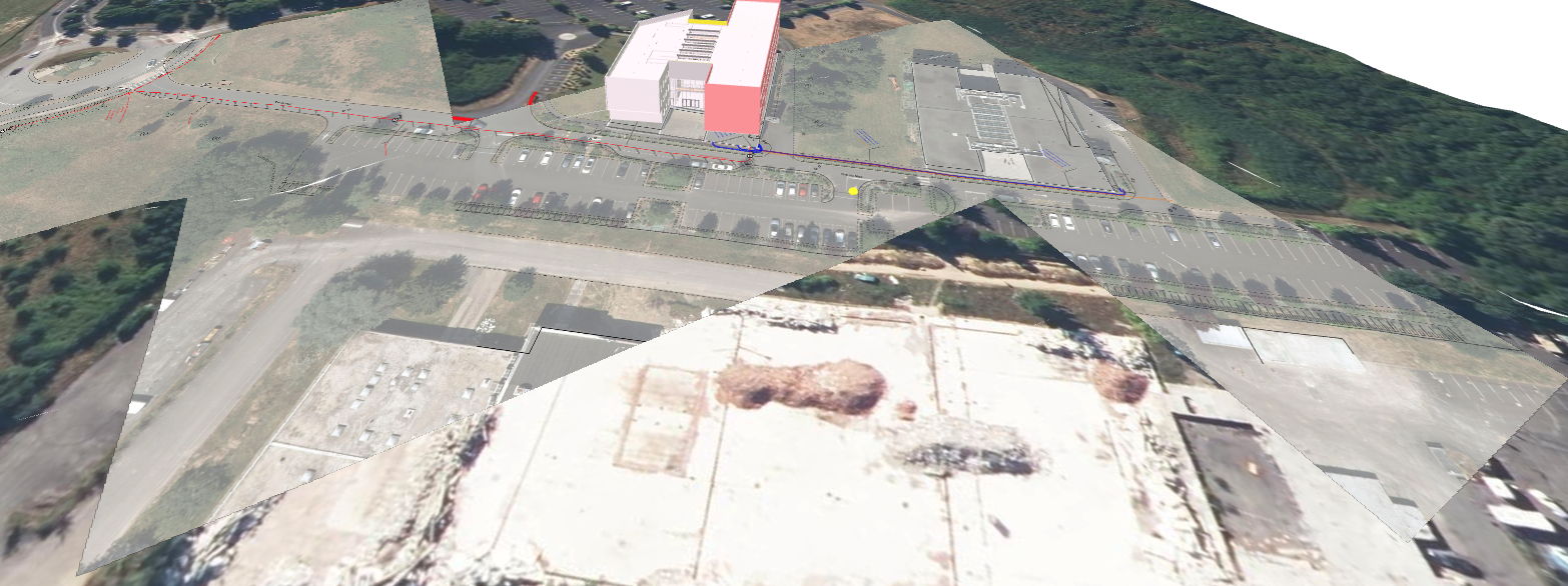
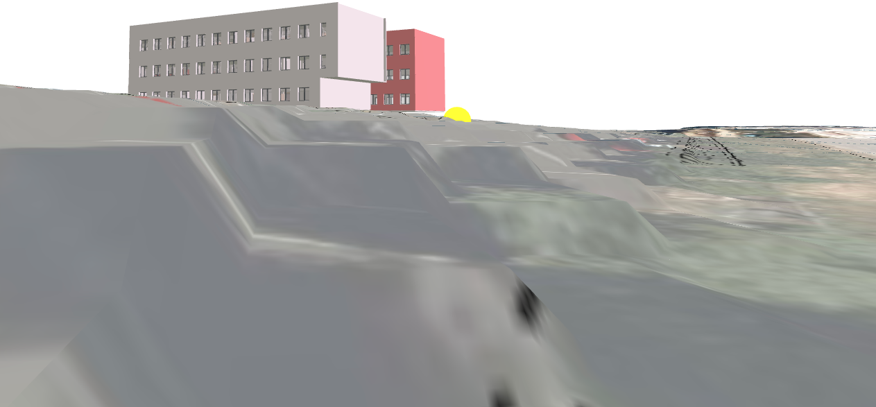
Final result would be like this :
Thanks in advance if someone could guide me if this is possible using the Unity SDK !
Best,

