Hi all,
I'm trying to make a diagram of a gas network.
As you can see from the images below the geo-position layout is ok but if I switch to mainline tree some junctions are placed outside the diagram. I don't know why!
All the junctions are snapped to the gas line, all the network elements have z = 0, there are no coincident junctions, there are no topological errors.
So....? Any idea??
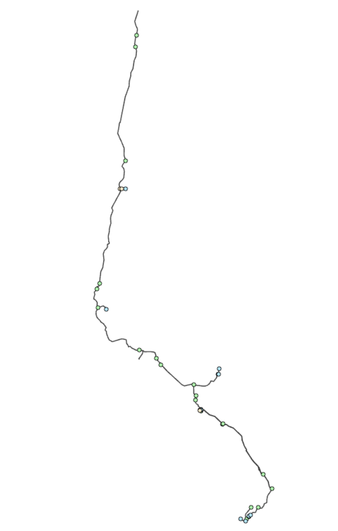
The geo-position layout
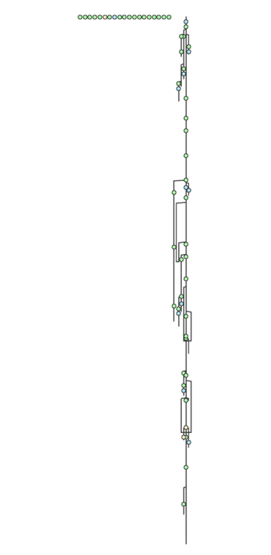
The mainline tree layout.
Using ArcGIS Pro 3.1.3. Utility Network version 5.
Thanks in advance

