Has anyone found a reliable source for Canadian DEMs that are not too difficult to access? I am looking for one that would cover one in the Manitoba/Saskatchewan area with about a mile of overlap into the US, if possible. I am working in the US and our Northern Territories have pixelated blank spots around the North Dakota Peace Garden where the US/Canada border meet. I need to fill in the gaps. Or maybe there is a better US version of this area that is not missing the border regions. If anyone can point me to one of those, that would work too. It will be used for elevation calculations. Here is what I am working with now. It works great except for the missing pieces on the border. I thought of interpolation but there is too much variation in the topography there that would be lost.
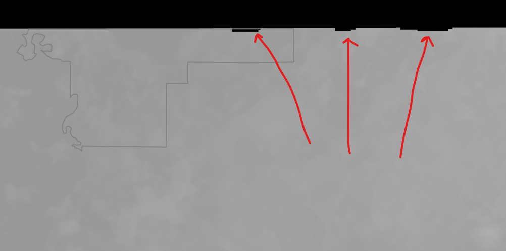
The grey portion is the US Side. The arrows point to the missing data along the border.


