Hi,
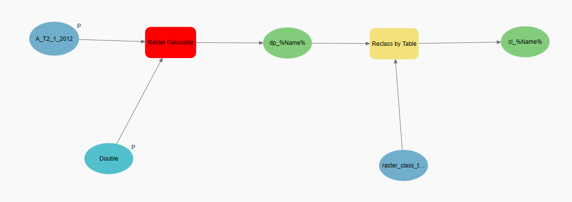
I am trying to model water depths in ponds using elevation rasters collected with lidar when the ponds were dry and staff gauge elevations of the current water level in the ponds. I use the water level elevation from the staff guage and subtract the elevation raster setting anything less than zero to null value. I then take the output from the raster calculator and reclass by table to classify the raster into six depth profiles labeled 1-6 for a habitat suitability model. I am trying to automate this process using model builder and am getting the following error:
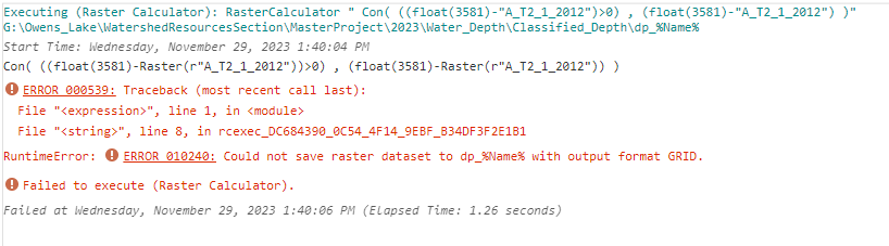
EERROR 010240: Could not save raster dataset to dp_%Name% with output format GRID.
I have tried changing my file type, saving to different drives, and changing the scratch and current workspace to separate folders. I have included a picture of my model, the error message I am getting, and the python code generated from ModelBuilder. Any help would be appreciated.