Hi!
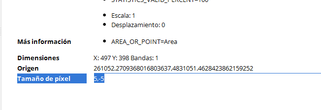
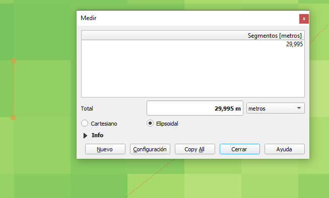
I did pansharpening to my Landsat images, and then another pixel reduction (to 5m). The thing is that when I look at the metadata, the resolution is correct (5 meters), but the image does not have that pixel resolution.
Does anyone know why is this?
Thanks!!!
I attach screenshots: