Running ArcGIS Pro 3.1.3 on a computer with an i7 hex core, Nvidia Quadro P2000, 32 GB of RAM, with all data stored in a mobile geodatabase on a Samsung 970 except for the World Imagery. The map has been clipped to a polygon to improve loading time. The network connection is 950 MBs.
I am trying to build very simple 3 keyframe animation that zoom into a polygon, a.k.a a Google Earth-style animation that I had hoped would be reproducible for editing purposes. Length is flexible, I have tested 15-30 seconds. I had hoped to use the visibility settings to have the polygons appear at different levels of zoom as the animation zooms in, which does not appear to be possible.
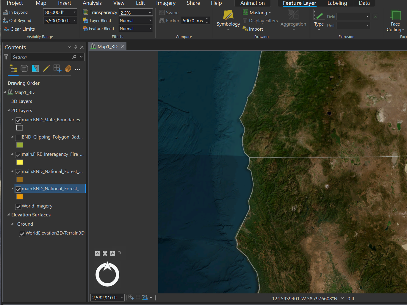
In the first screenshot, the highlighted polygon has the "Out Beyond" visibility set at 5.5 million feet, the animation was paused at 2, 582,910 ft, and the polygon is not visible. The only way to make it visible is to go to the "Out Beyond" box and re-enter the visibility setting.
In this screenshot, it is the opposite issue of the first screenshot. The highlighted polygon is set to an "Out Beyond" visibility of 750, 000 ft but is showing up in the animation at over 1.5 million ft.
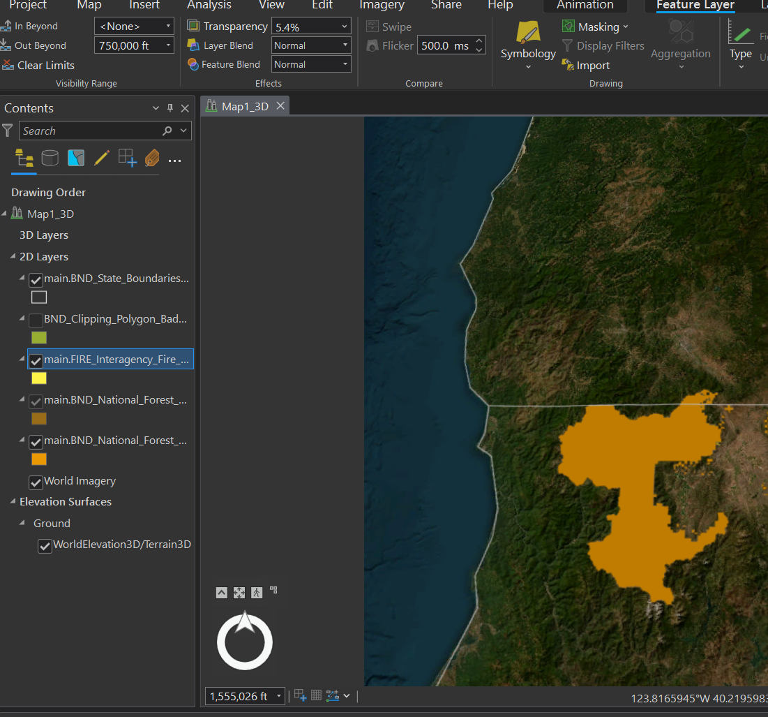
This is also not a consistent issue, sometimes it works as expected with all visibility settings being honored. I have experienced this with multiple polygons, tested in three different projects, and made multiple local and global scenes.
I am also seeing an issue where the visibility settings are honored in an export as a draft, but the visibility settings are non-existent in an export as 1080p, with all polygons being visible from the beginning to the end.
Do I not understand how visibility settings interact with an animation? I have not found an in-depth discussion on how visibility interacts with an animation.
Is there a better way to do this or any way to do this in ArcGIS Pro? I need to make multiple animations, one of which will be a fly along a project area with community points appearing as it moves along the area.



