Aloha! I am hoping to get some advice on introducing fixed points into our about-to-be-deployed, newly upgraded ArcGIS Pro Parcel Fabric (currently v5, Enterprise 10.9.1, ArcGIS Pro 2.9.x or may be 3.1.x.
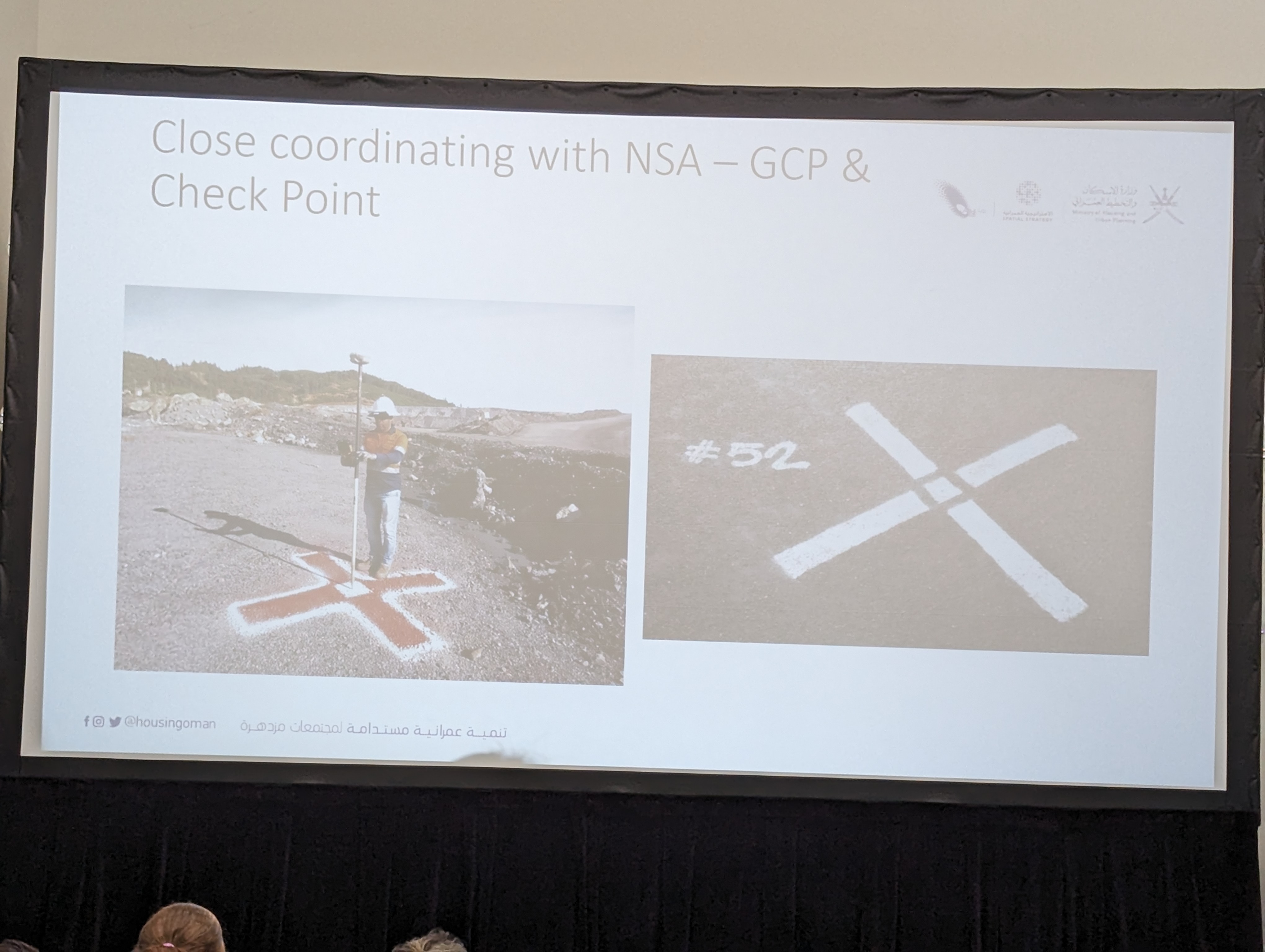
We have contracted with Eagleview for another cycle of imagery capture that will include Certified Orthomosaic and True-Touch technology. Particularly important to note here is that Eagleview will identify visible 'targets' (landmarks) that a surveyor will collect survey grade coordinates in order for the orthomosaic to be spatially aligned accurately.
Now for my question:
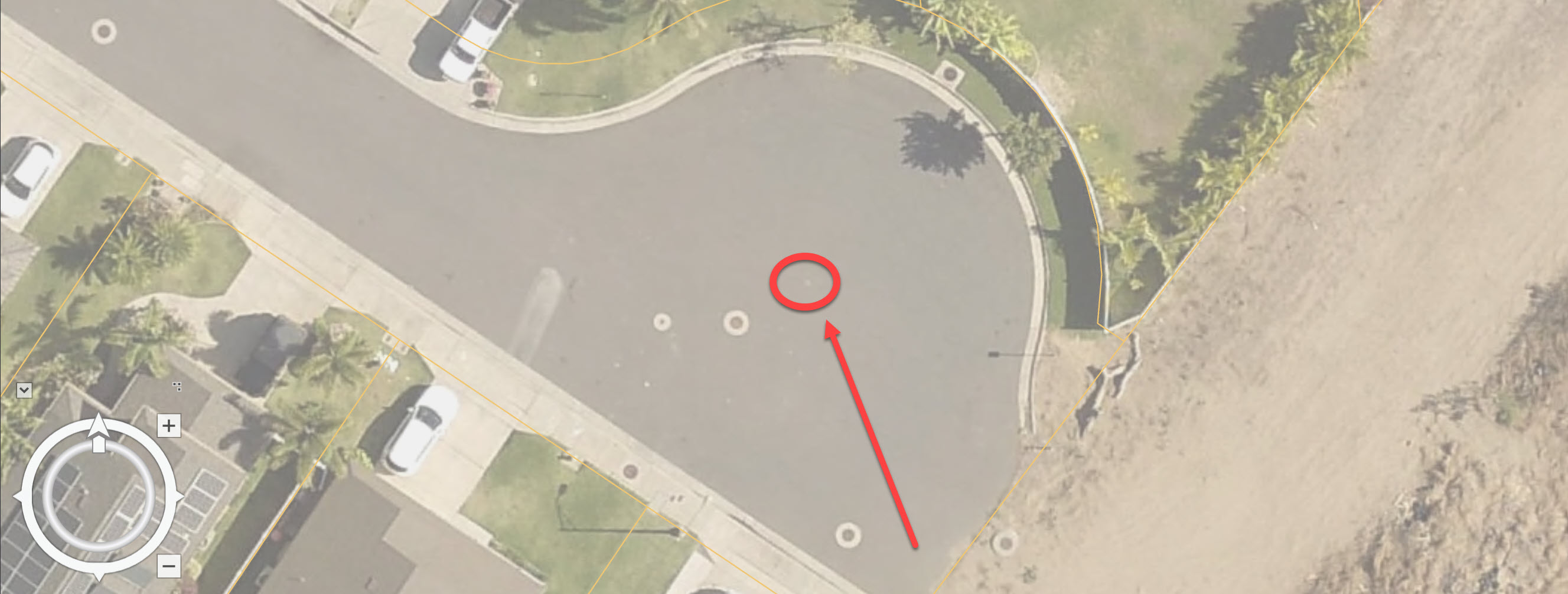
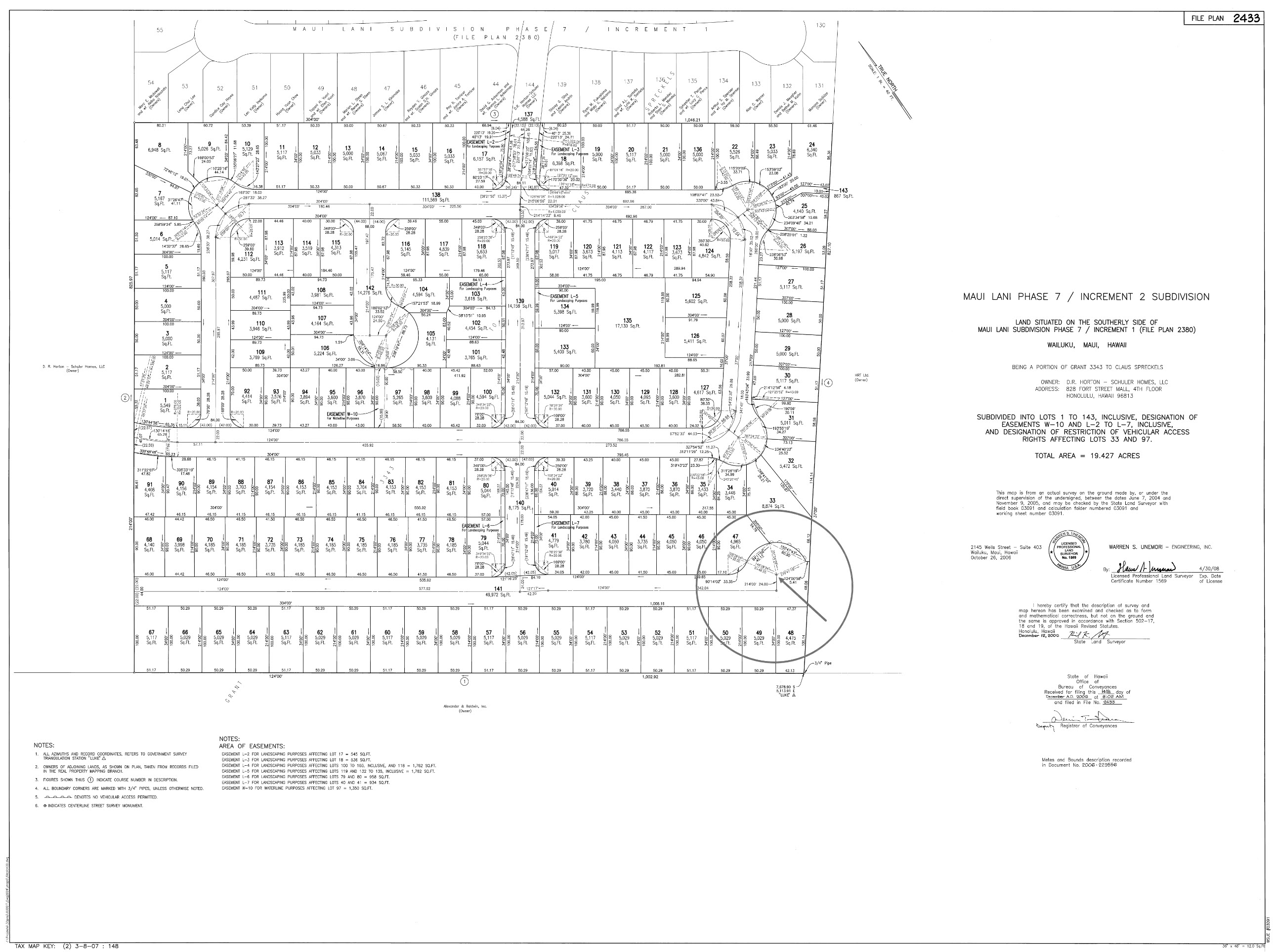
I am attempting to convince the survey coordinator (Sr. Management) that it is important for us to align our Parcel Geometries with the imagery on delivery, and in order to do that Coordinates that we can use for LSA would be useful. Typically, Eagleview utilizes items such as sidewalk curbs which will not help us at all. I have identified visible cul-de-sac centerpoint monuments throughout the County that I am more than willing to create a more visible target for them (example below) for these as they will need to do this in parts of the County where there are no cul-de-sacs and they would prefer to minimize the number of times that will be necessary.
What other types of parcel-related landmarks could we use? Obviously, a random concrete pad or large rock or whatever it is they choose will not allow us to use those as fixed points for adjustment.
Side note: The County does not require surveys to contain coordinates when submitted for approval. As a result, NGS monuments are our only 'fixed points' and we have not historically made any LSA and simply visually aligned with previous imagery to the best of our ability.
Thank you in advance for any assistance.