Hello everyone. I want to link global warming data acquired from IPCC's interactive atlas to a dashboard in PowerBI.
It is my first time using ArcGIS Pro and as someone who has no prior experience in this software I am having a hard time figuring out how things work.
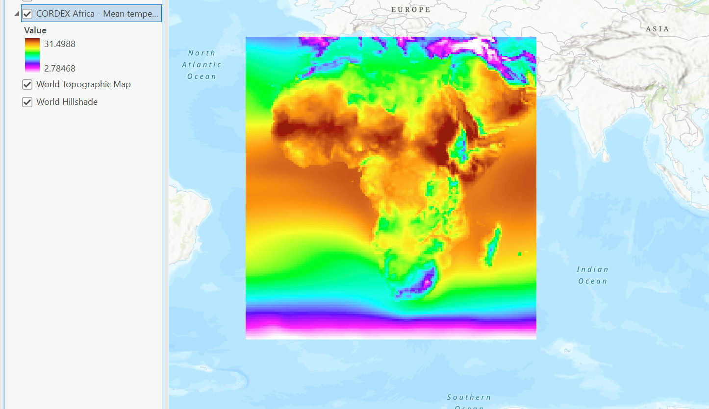
For learning purposes I first downloaded a geotiff file of the african continent, showing the change of temperature (degree celsius) of the selected scenario and period. It looks something like this when drag and dropped into ArcGIS Pro.
I then tried to follow an online tutorial and ran geoprocessing "Manage Tile Cache". Input Data Source is the geotiff file above, while Area of Interest is a shape file of the African continent I found online. However, the progress of this proccess has been at 100% for a long time, and I wonder if I am doing this right.
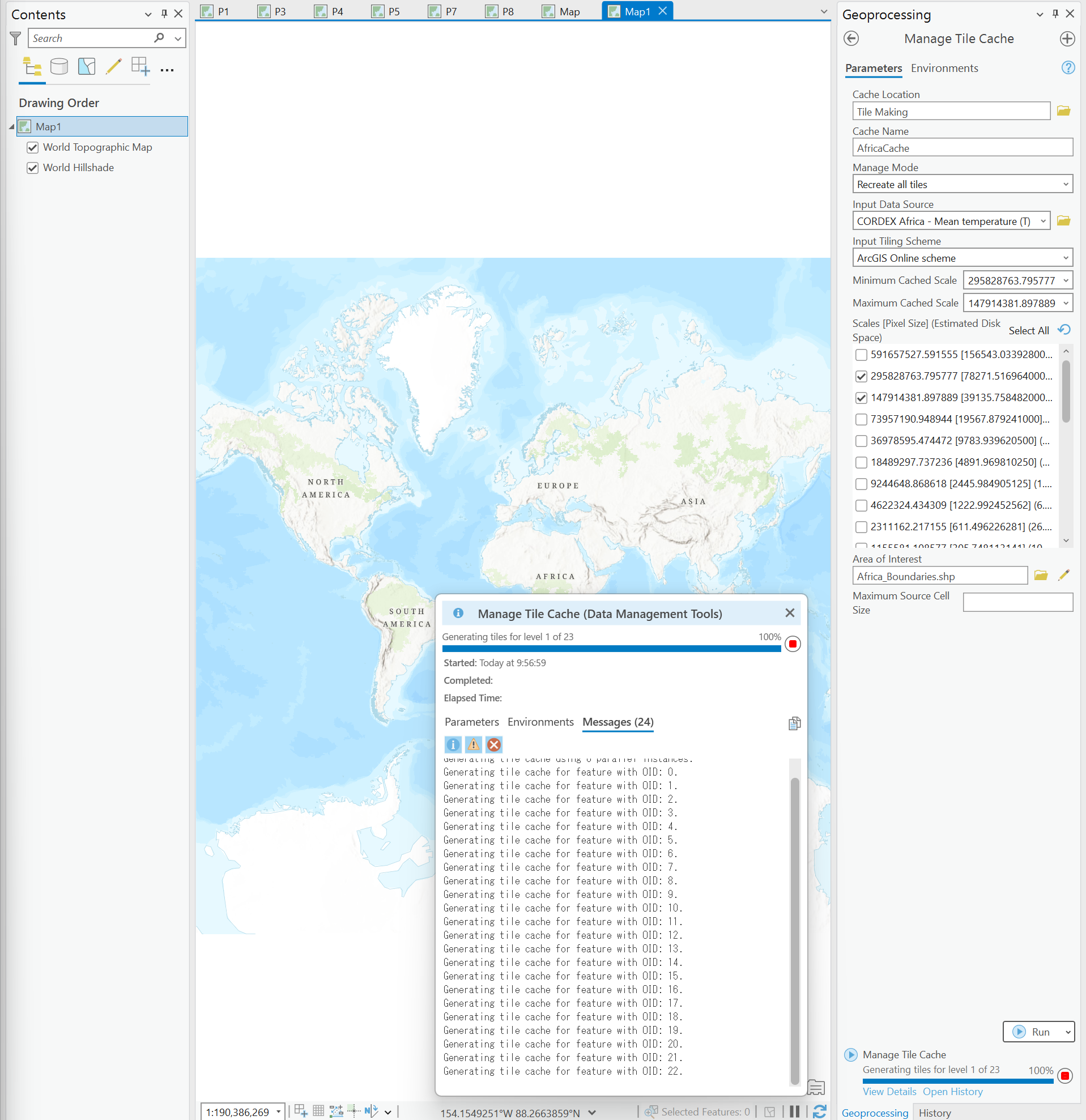
Since I will ultimately be uploading the tile layer to ArcGIS online, and import it from ArcGIS for PowerBI, I assumed that files should not be that large.
In the tutorial, after this step is done, the process export Tile Cache will be used to create a tile package (tpkx) file.
I will be very grateful if I can receive help on this and ArcGIS for PowerBI. But currently the main problem I am facing is with ArcGIS Pro so I posted in the ArcGIS Pro Questions category.
Please forgive my bad English as I am not a native speaker.



