Good day!
I am testing consistency/accuracy of plotting coordinate table to point under Defense Tools, Coordinate Table to Point. My colleagues observed output inconsistency in geoprocessing tool using Decimal Degrees (Two Fields) format and Degrees, Minutes, and Seconds (Two Fields).
Here is the case and sample. I have a raw data in Decimal Degree format (in Luzon 1911 Datum) containing lat and lon information  . Ran it using Coordinate Table to Point, selected Decimal Degree as format, entered x and y fields appropriately and choose Luzon 1911 as my Coordinate System. - The process was successful and the result is on the image: red - using dms format and blue - using degree decimal format.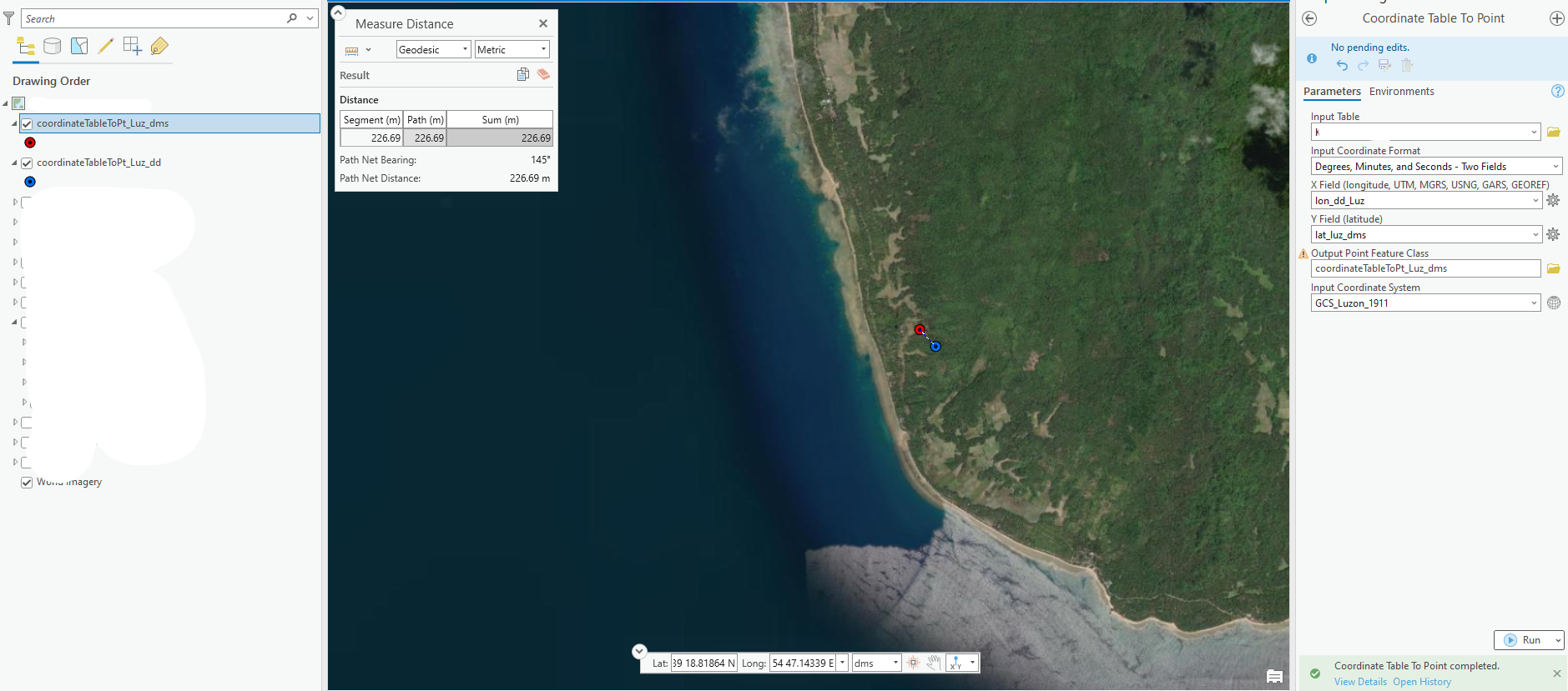
Question: How come the output of the DD and DMS format is not pointing to a single location?
Is there something I missed, or maybe I am not doing it right? 😅
Thank you in advance for considering this post.

