I've been working on generating potential areas influenced by lava using the DistanceAccumulation tool in ArcGIS Pro. These maps aim to represent lava flow
For the distance accumulation, I've incorporated several rasters:
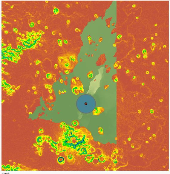
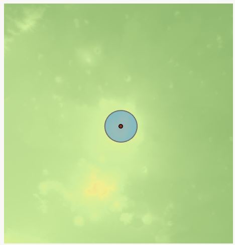
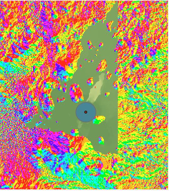
A surface raster that provides the topographic context. A cost raster derived from slope, indicating the potential pathways lava might preferentially follow. An aspect raster to provide directionality.
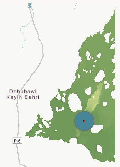
The process has been largely successful, and many maps appear accurate and complete. However, I've encountered an issue with some outputs where the representation seems to be arbitrarily truncated or cut off. Interestingly, a visual inspection of the individual rasters at these truncation points doesn't reveal any anomalies or peculiarities.
Has anyone experienced a similar issue or have insights into what might be causing this truncation?
To fully see the problem, please check the images below.
distance acc raster:
Aspect raster
cost raster and topography