I created a NetCDF file and then added it as a multidimensional voxel layer to ArcGIS Pro. I then got this warning:
Voxel layer can only be drawn in local scenes with the same coordinate system as the voxel layer. Change the scene to a local scene and the coordinate system of the scene to match the voxel layer.
Looking at the scene's Map Properties > Coordinate Systems, I found that my voxel layer used the WGS 1984 coordinate system while the World Topographic Map and WorldElevation3D/Terrain3D layers used the WGS 1984 Web Mercator (auxiliary sphere) coordinate system.
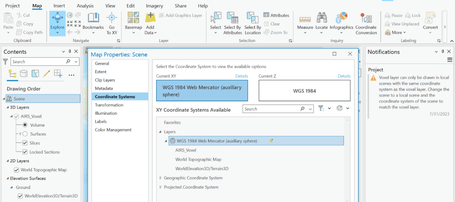
However, I'm still getting the same warning about the coordinate systems not matching. I've also tried changing the Z coordinate system to both None and WGS 1984, to no effect. I've also restarted ArcGIS Pro, to no effect.
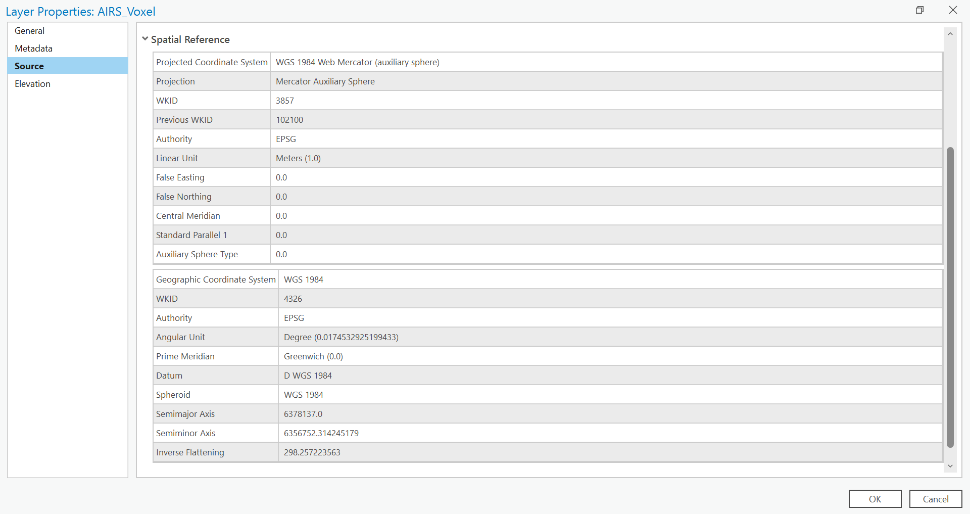
Here's the spatial reference for my voxel layer, in case it helps:
What should I do?



