Hi,
I was directed to this forum by an ESRI support team member to address a basemap issue. I noticed that the ArcGIS Pro basemaps for Canada and the Unites States don't match:
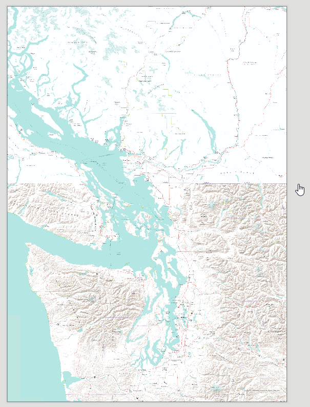
This affects multiple basemap types and results in differences in map features (e.g. hillshade in example above, non-matching contour lines, differences in the appearance of waterbodies, etc.), and blank or blurry areas along the border. Obviously, the less features a basemap shows, the less noticeable some of the effects are. Sometimes this is also scale-dependent (in the example above, the 'switch' happens at a scale of 1:817,120). While the individual basemaps themselves might be fine when looking at them isolated, including them in projects where the border serves as a cartographic reference leads to undesirable effects and basically makes them useless. I'd be happy to provide more examples...




