Hello,
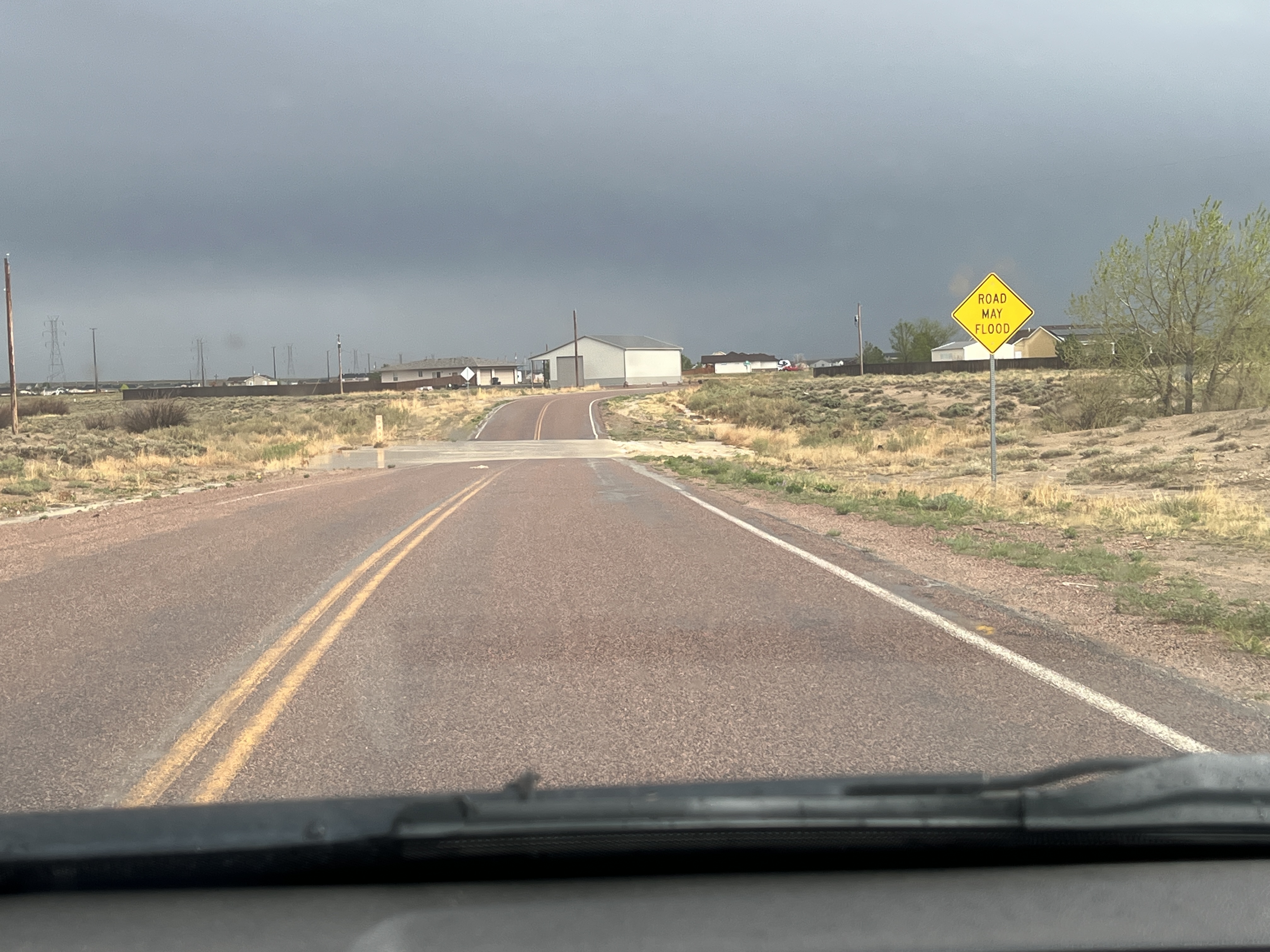
I am very curious and came in my mind is that if you have signs that show "Road May Flood" should be mapped ?
I am wonder why was it not on either Google or Apple Maps ? I heard from someone on Facebook is that a driver got nearly stuck in the water .
If the Sign is up and stand up next to a road, As a GIS Specialist or Road technician should be mapped them ?
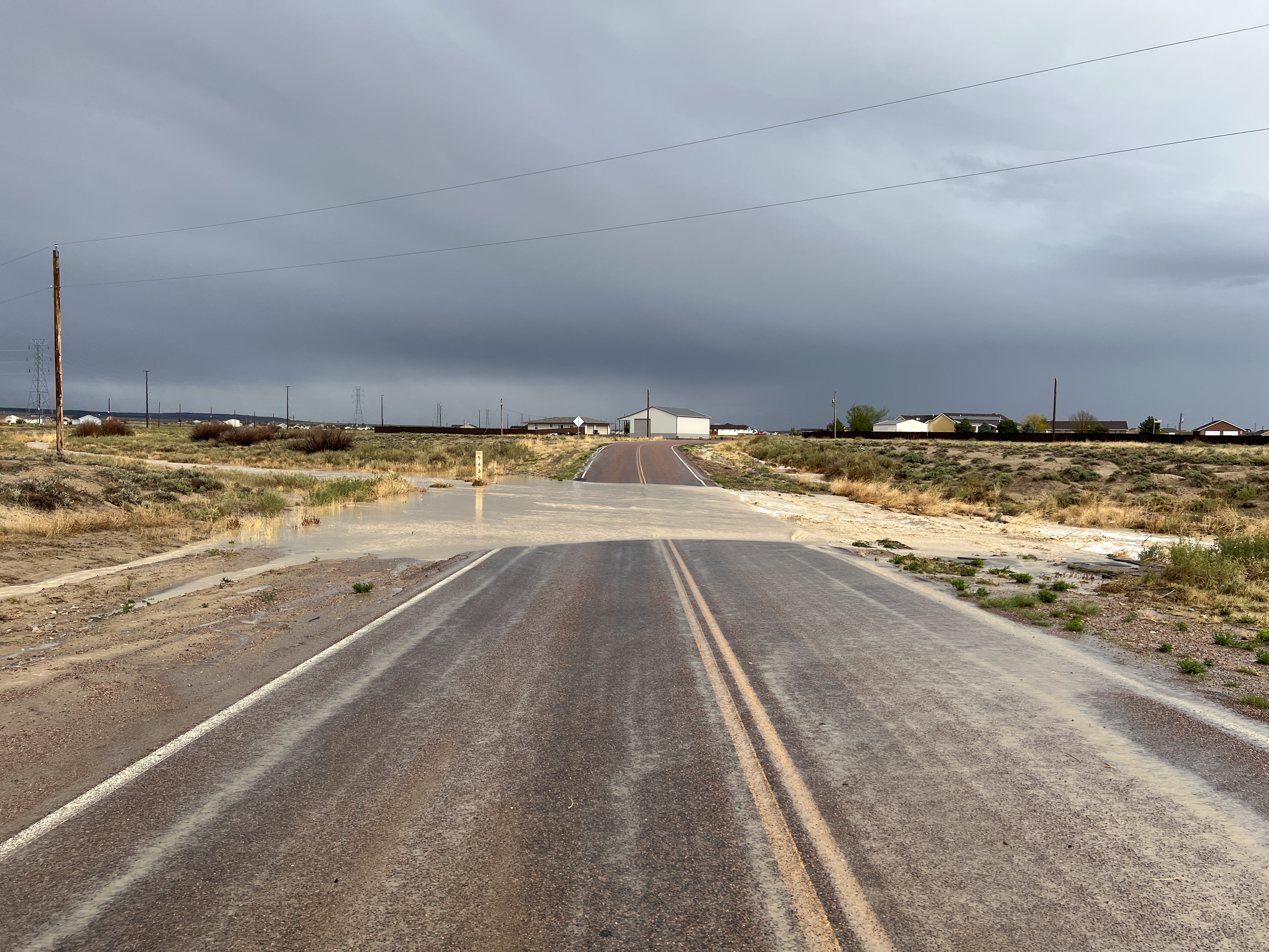
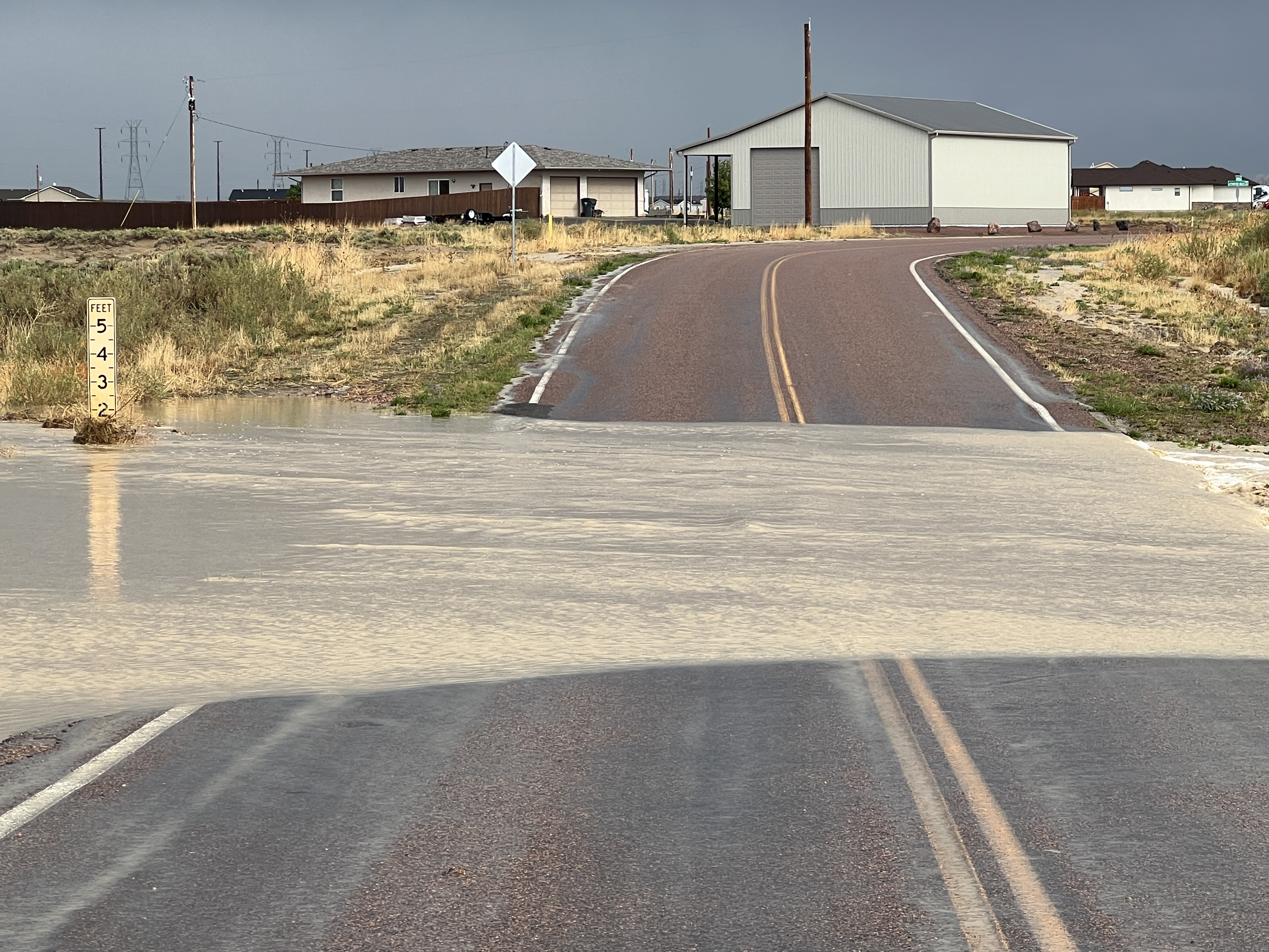
That day it was on May 11 and we got heavy rain that day. We have roads that have dip down and a few of them are small and not deep but a few of them can be a bit slope deep a bit...
The picture is taken in Pueblo West, Colorado and we don't get very much heavy rain like you saw the picture...
On my Google or Apple apps and when I check them, there are dry small stream through it and some do not shown stream through it
Here are the pictures ...
What do you think ? It is all about safetly and prevent from people getting into the Flood and drown.



