The screen shot below looks like 2 lines connected at 1 point, but it is really 2 lines connecting at 4 coincident points: 3 Sewer Devices (1 Manhole Channel + 2 Pipe Connections), and 1 Sewer Junction (Manhole).
As I understand it, the Manhole Channel and Pipe Connection points are created by UN attribute rules -- they are not part of the source data.
This results in 5 topology errors:
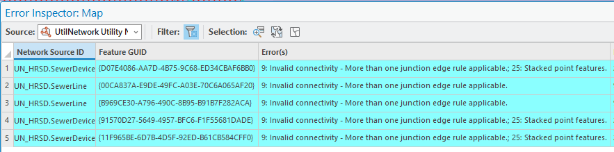
I checked the existing topology rules int he UN properties, and it seems like rules are already in place to address these connections, but we are still getting the errors.



We are curious if anyone else has run into this and figured out how to fix these errors.
Regards, Rich Moore, GIS Analyst, HRSD


