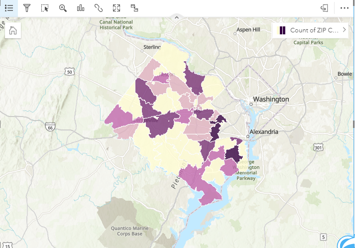
I have a table with zip code as the only field to tie records to a location for privacy concerns. I'm able to join the table to my zip code feature layer to create a choropleth map showing how many records from each zip code are present in my table.
I'm trying to do this another way, i.e., by only adding my table to the workbook and using the "Enable Location" option but I can't get the choropleth result. The process times out when I try to use the standard USA zip code geographies:
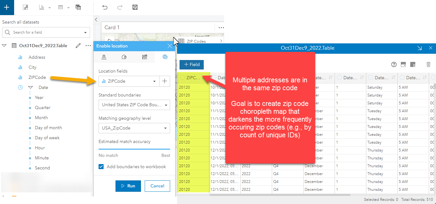
Any thoughts on how I can get the USA zip codes, preferably only in my county with a match, to load so I can create the choropleth?


