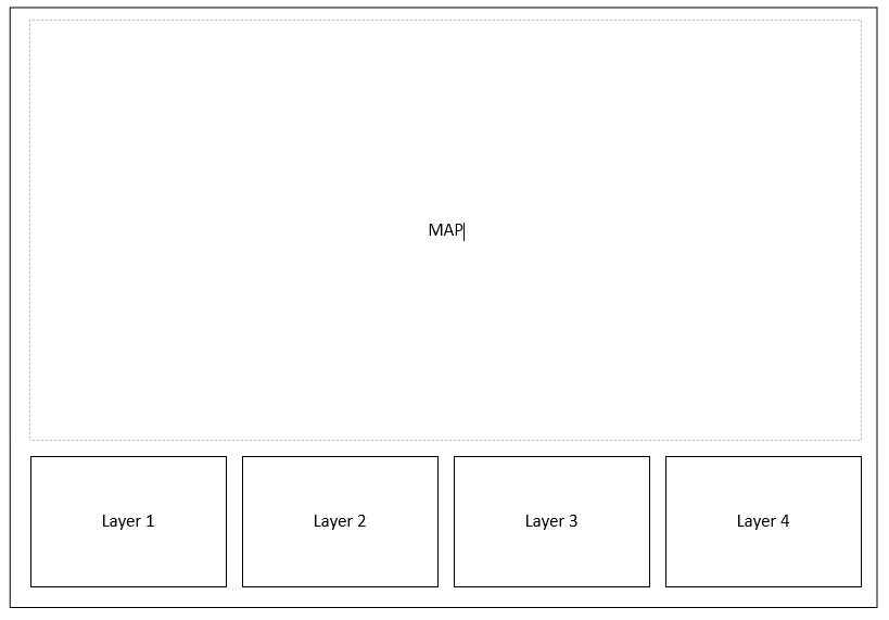
I remember a while back there was a template floating around that allowed a user to click an location on the map and it returned data from multiple layers and placed the data in cards along the bottom of the web app.... Is this still around
Something like below... where there would be a map at the top and when the user clicks the cards at the bottom would update with attributes from specific layers....
I think it was geared towards Local Government... Where a click would return data on Voting District, School District, County, City etc
Don't remember if this drilled through the layers or was a proximity thing
Thoughts?