Hi!
There are two things that I wish to clarify.
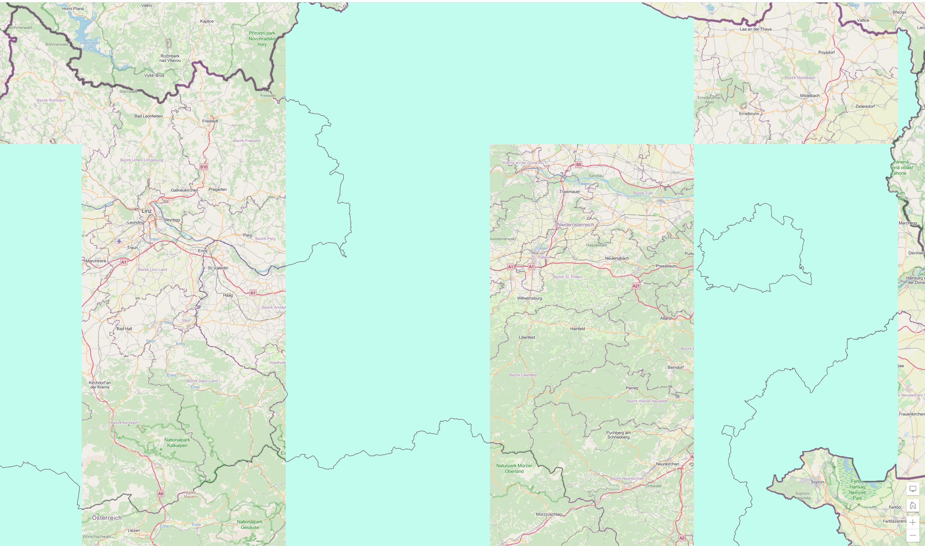
One one hand, the layer -in 1st image below- is a feature service published via ArcGIS Pro and opened with Map Viewer. The problem with it is when panning or zooming around the data is displayed very irregular (appears and disappears). This issues is only with the feature service, NOT if published as map image service (renders actually very well). Are there any parameters that have to be set in ArcGIS Manager Service or how can I solve the feature layer to render properly?
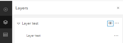
On the other hand, even though Map Image Service works well when visualizing the data, in the Layers pane - in Map Viewer, there is a collapse button that show me twice the layer. Does anyone know if it is possible to get rid of the collapse button with two corresponding visibility icon? (2nd image below)
Also I am adding the layers with Rest API.
Thank you.
I am not sure if I posted right, as I am new here.