Hi there,
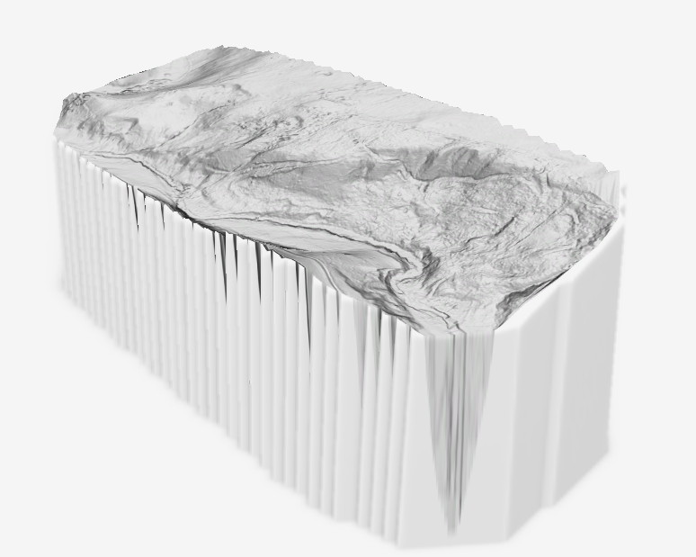
I am in the process of learning how to work with UAV derived data in ArcGIS scenes, i ahve encountered a Z axis offset issue and was wondering how i can resolve this? The data is from a Lidar UAV and is GNSS WGS84 but when i view the data in a Scene there is a big offset as per the picture below! How do is resolve this?
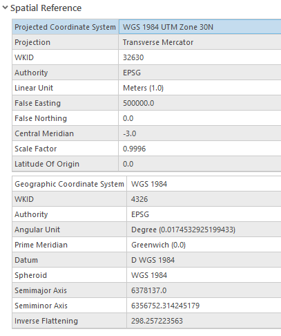
This is the spatial reference i am using from the UAV DTM which is set as ground in a local scene
Thanks in advance - be kind please I'm quite new to this!



