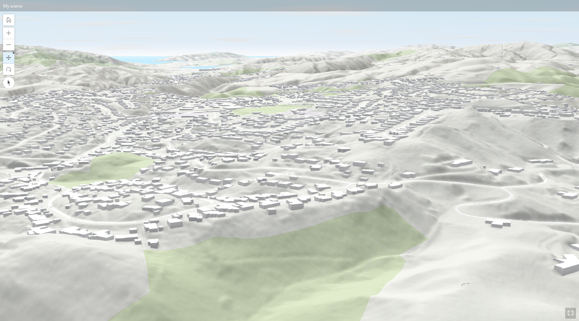
Hi, I've found the exact data I need of a suburb that has the houses modelled in 3D (excluding roof shapes) and I'd like to download the 3D buildings/houses data and manipulate it to look more realistic, e.g. adding roof shapes, draping aerial imagery & other colouring etc. I've tried a bunch of different websites & methods, and I can't get anything more than just 2D shapes of the houses that I would need to extrude myself.
The purpose of this is for me to create a semi-realistic flythrough of the suburb, likely by using Blender or Sketchup or another couple of options I have. This is a screenshot of the suburb which not only has the houses in 3D, but also the topography. The screenshot is from 'WebScene' & is showing the 'OpenStreetMap 3D Buildings' layer.