Hi,
I am new to mapping so sorry if this is a basic question...
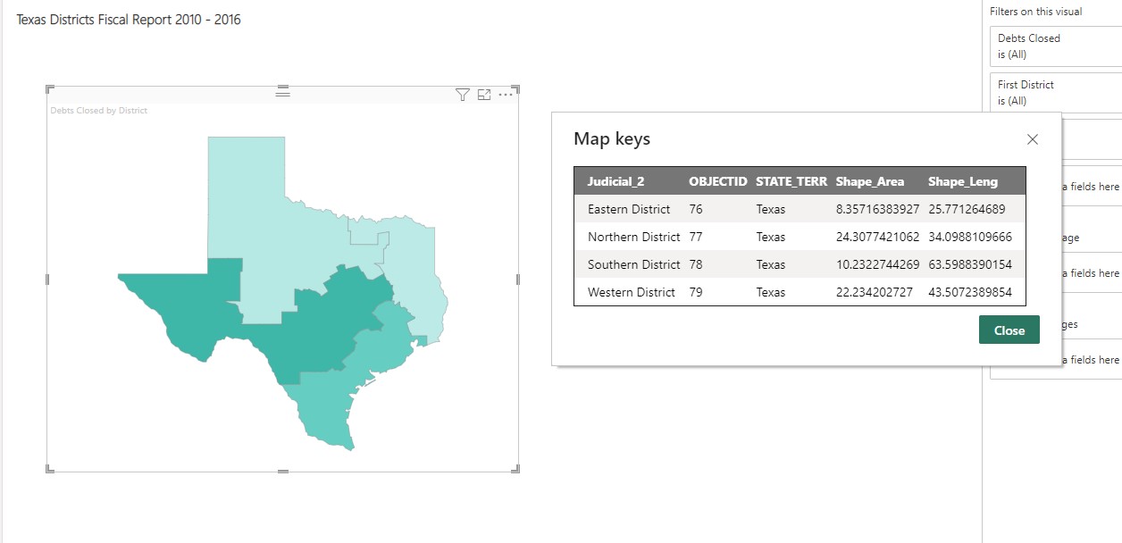
I would like to create a map that groups county or zip code shapes into larger shapes and then export this as a KML or GeoJSON file for use in Power BI. When I create a layer in the product from my list of counties for example, I only see dots, not shapes. So I would appreciate any suggestions for this.
Attached is an example of what I would like to end up with. thanks for any help!