I have a JFIF file and its corners coords.
Right now I have found 2 to ways to place it on the map.
1. Add it as a PictureMarkerSymbol.
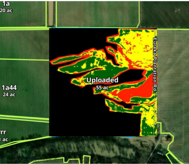
The problem in this case is that I get a black background with the image
2. I can convert it to COgeoTIFF using GDAL.
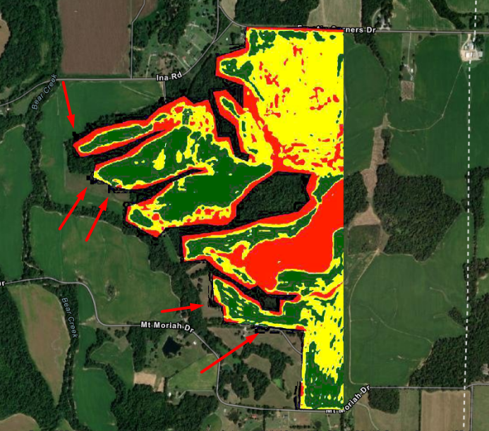
In this case it looks much better, but I still have 2 issues:
a) The black background removed by adding NODATA values is not removed completely. Some of it is still visible.
b) There is a lot of conversion that must to be done.
Is there a good way to place JFIF on the Map, without tons of conversions and black background?

