My goal is to modify the Z coordinates of a 3d polyline (Camino3d) from the fields of an attribute table of another feature (Camino).
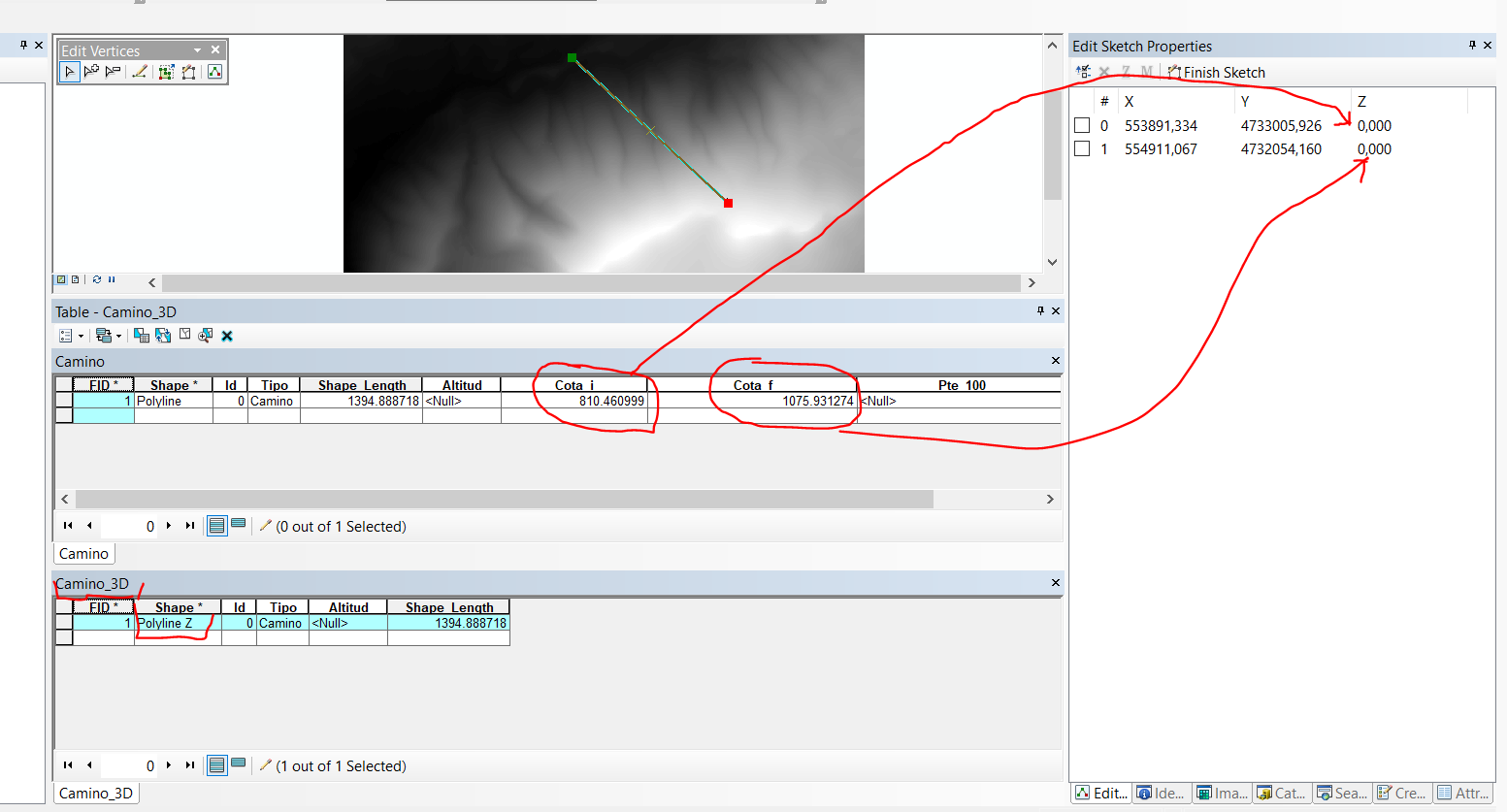
layer = r'C:\Desmonte_terraplen_vs01.gdb\Camino'
fc_dest = r"C:\Desmonte_terraplen_vs01.gdb\Camino_3D"
with arcpy.da.SearchCursor(layer,["Cota_i","Cota_f"]) as search_cur:
    for search_row in search_cur:
        with arcpy.da.UpdateCursor(fc_dest,["SHAPE@Z"], explode_to_points=True) as upd_cur:
            for upd_row in upd_cur:
                    upd_row[0] = search_row[0]
                    upd_cur.updateRow(upd_row)
Using Explode to point = True I split the polyline into multipoints and I think I can iterate over them.
The problem comes in that I don't know how to iterate inside the Z values of the 3d polyline.
Any suggestions? Thanks a lot!


