Re: Error 00230 Service layer ...blah blah
OK, I wasn't able to glean anything from similar posts. And the Error Help page didn't help.
The Share As > Web Map Analyzer indicates the Graphics Layer with the issue.
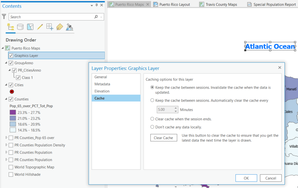
But, that is associated with the Text, "Atlantic Ocean" (see below)
What does that have to do with a "Service layer"..? And, does a Graphics Layer really have a projection..?
Somewhere it suggest clearing the cache ...if so, I wouldn't know which option (see below)
Yes, it's true that the actual map layers are in a Puerto Rican coordinate system, and the Current Map View is in WGS 84 Web Mercator (auxiliary). Is that the problem? If so, I can fix it, but the Error message doesn't seem to indicate that, so that's why I'm confused
Any ideas what's going on here?
Thanks,