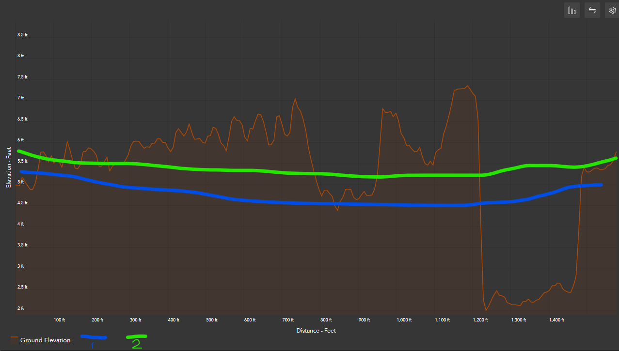
I have multiple elevation surfaces including an elevation ground surface layer and two other raster layers containing groundwater surface elevation values under different scenarios. I would like to create a stacked profile similar to how the Stack Profile 3D Analyst GP tool works in ArcGIS Pro. It seems that the Elevation Profile widget in Experience Builder as well as in the Exploratory 3D Analysis Elevation Profile tool in ArcGIS Pro is limited to only displaying one layer at a time in the profile graph. Is there a way to show multiple elevation surfaces in a single Elevation Profile graph [on the same axis] using this widget or by any other method in Experience Builder or the Elevation Profile Exploratory Analysis Tool in ArcGIS Pro?
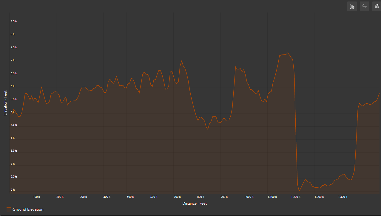
This is how the tool currently looks with only one elevation surface layer (ground surface elevation)
I would like to produce something like this