Esri Startup Program Partner Activities at 2023 FedGIS
Learn about Esri Startup Zone exhibitors and talks at the upcoming 2023 Federal GIS Conference (#FedGIS). We have highlighted a few resources among the hundreds of different activities, workshops, and Expo opportunities available on February 7-8 to help you and your organization gain the maximum benefit from this in-person event in Washington, DC
Startup Zone | FedGIS Expo
Expo Hours: Tuesday, Feb 7th 12:30pm - 6:30pm | Wednesday, Feb 8th 10:45am - 5:15pm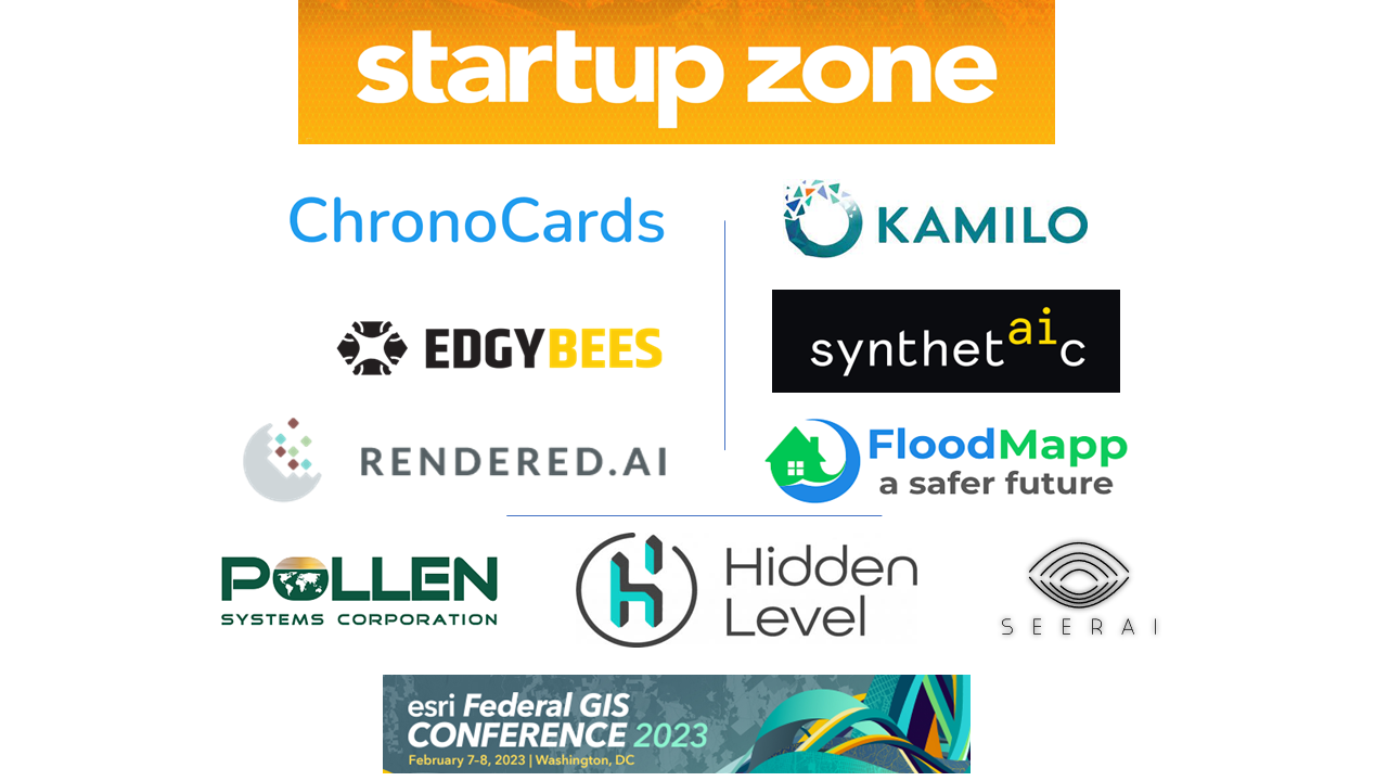
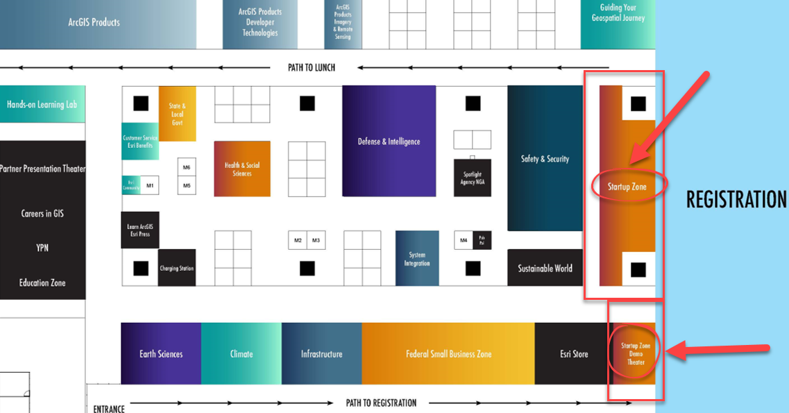
Visit the Expo’s Startup Zone, Tuesday and Wednesday! This area of innovation hosted by the Esri Startup Program features emerging business partners with ArcGIS-ready product offerings, focused talks and demos by entrepreneurs, and technical and business experts for 1:1 questions.
- Startup Zone Demo Theater & Booths: Attend expo spotlight talks in the Startup Zone Demo Theater demos and connect with leading startup companies supporting AI, ML, IoT, big data, imagery, and more across an array of markets. Their focused solutions are built to help you meet your mission and save resources. View the Expo floorplan & exhibitor list.
- Ask an Expert: Have you got questions about the program, partnering with Esri, or ArcGIS developer resources and location-based services? The Esri Startup team will be there to provide answers. No appointment necessary.
Exhibitors - Startup Zone
Company | Description | Booth |
ChronoCards | Manage GIS Better: ChronoCards increases GIS collaboration and knowledge retention through activity logging, workflow documentation, and task management with ArcGIS. | Z3 |
Edgybees | Founded in 2017, Edgybees is on a mission to instantly transform spatial content into actionable and reliable information to deliver a safer world. Edgybees software combines advanced computer vision and machine learning technologies to accurately align aerial video and satellite imagery to reference imagery in real-time. This unique approach enables rapid decision-making by visually augmenting roads, key landmarks, and other mission-critical data. | Z5 |
FloodMapp | FloodMapp is a rapidly growing tech company specializing in dynamic, real-time flood intelligence for emergency management. We work with government agencies, critical infrastructure companies, and other industries before, during, and after flood events to improve safety, prevent damage, and aid in rapid response and recovery. Our talented and multidisciplinary team of flood engineers, hydrologists, data scientists, and software developers are committed to building a safer future. | Z6 |
Hidden Level | Current technologies do not scale for wide-area drone detection. Hidden Level solves this problem with its Airspace Monitoring Service (AMS) data feed. Users can pull in actionable data on drone operator location, drone 3D position, and Remote Identification (RID) information into their GIS or Security Operations Center systems. Hidden Level owns, operates, and maintains the sensor network allowing our data subscribers to focus on actionable data for UAS airspace incursions. | Z1 |
Kamilo Inc | Kamilo provides 3rd party tracking and verification of waste-to-recycled plastic in real-time to ensure responsible supply chain origins and outcomes and to prove and improve sustainability. Kamilo’s geospatial technology platform creates an immutable chain of custody from source to final recycled product and attaches GHG emissions and other ESG data directly to the flow of materials. | Z4 |
Rendered.ai | Rendered.ai is a Platform as a Service for data scientists, data engineers, and developers who need to create and deploy unlimited, customized synthetic data for machine learning and artificial intelligence workflows, reducing expense, closing gaps, and overcoming bias, security, and privacy issues when compared with the use or acquisition of real-world data. Rendered.ai focuses on remote sensing, oblique imagery, and sensor fusion computer vision use cases. | Z2 |
Synthetaic | Synthetaic is an end-to-end AI company. We build software that lets our customers create AI solutions in minutes, not months. Our product, Rapid Automatic Image Categorization - RAIC, automates the analysis of large, unstructured datasets. This end-to-end offering provides insights through quick labeling, rapid search of unstructured data, model training & deployment, and related objects and anomalies. | Z7 |
Attend Talks in the Expo - Startup Zone Spotlight Theater
Review and add talks to your schedule in the online agenda.
Don't Miss These Activities... For a complete schedule, visit the FedGIS Agenda
- Partner Preconference Program (Add-on to Registration) February 6th 12:00pm – 6:00 pm [On-site Room 151B]
- Opening Plenary Session February 7th 9:00am – 12:30pm and February 8th 9:45am – 10:45am [Hall A] Keynote address by Jack Dangermond and inspirational technology demonstrations by Esri and Government users.
- FedGIS EXPO February 7th 12:30pm – 6:30pm (EXPO Social 5:15-6:30pm) & February 8th 10:45am – 5:15pm [Hall B]
- Networking Reception February 8th 6:30pm – 9:30pm [Off-site Smithsonian National Portrait Gallery]
Visit the event site for the latest information at esri.com/fedgis (All times (EST), subject to change).
We hope to see you there!