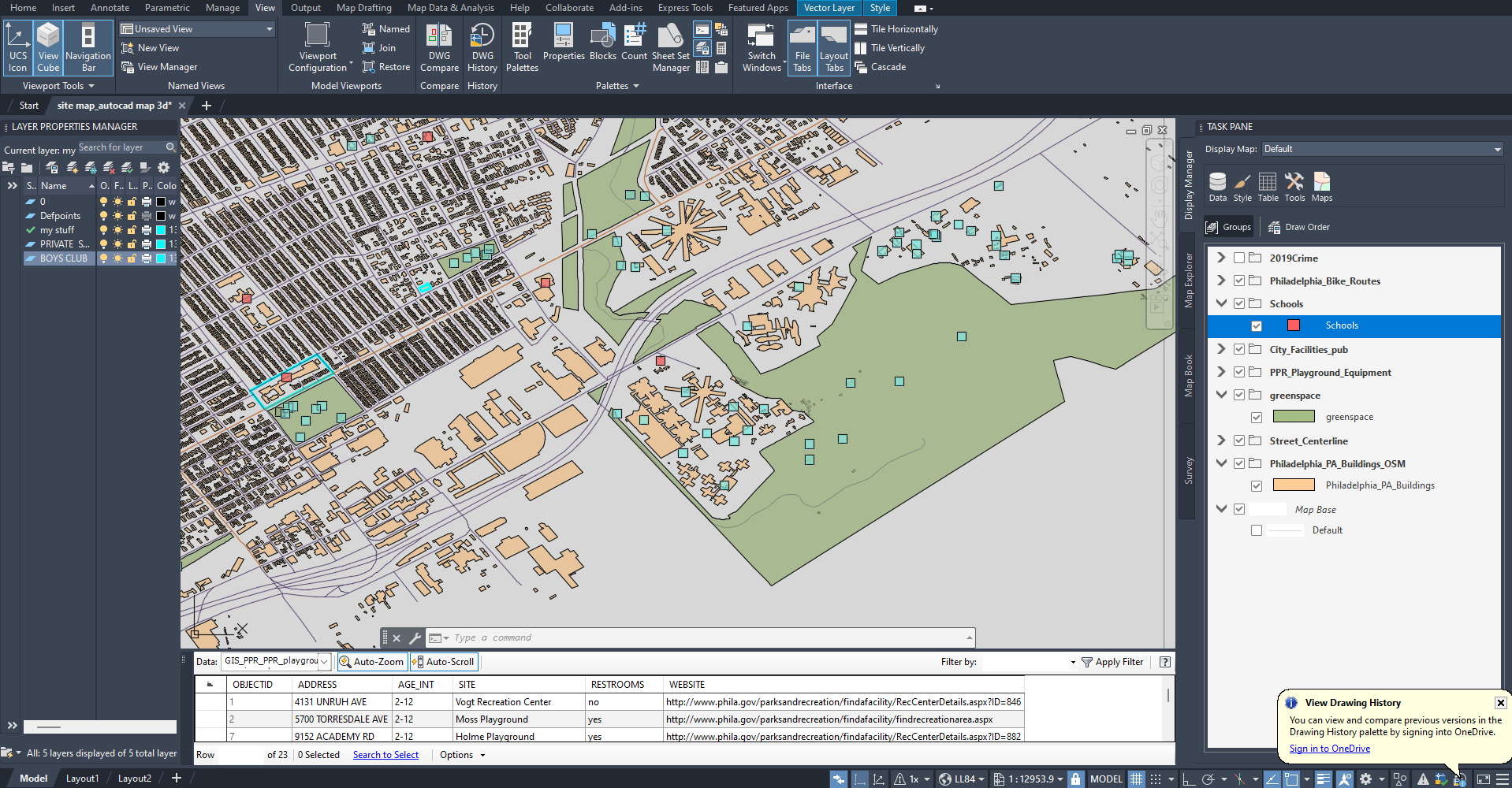
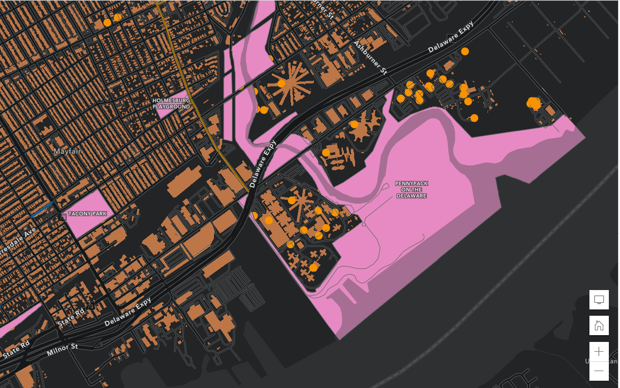
I'm new to AutoCAD Map 3D and I'm not sure why my map looks like it's at an angle. I'm in 2D mode and viewing from the top of the view cube so I should have a straight-on view looking down at the map, right? Is there a setting that is making it look so skewed? The second image attached is my map on the ArcGIS web browser and it looks fine but when the same data is uploaded into Map 3D it looks off. I used the "MAPARCGISCONNECTOR" command to import the data and I'm using option 1 under "MAPARCGISCONNECTOROPTION" .