Hello,
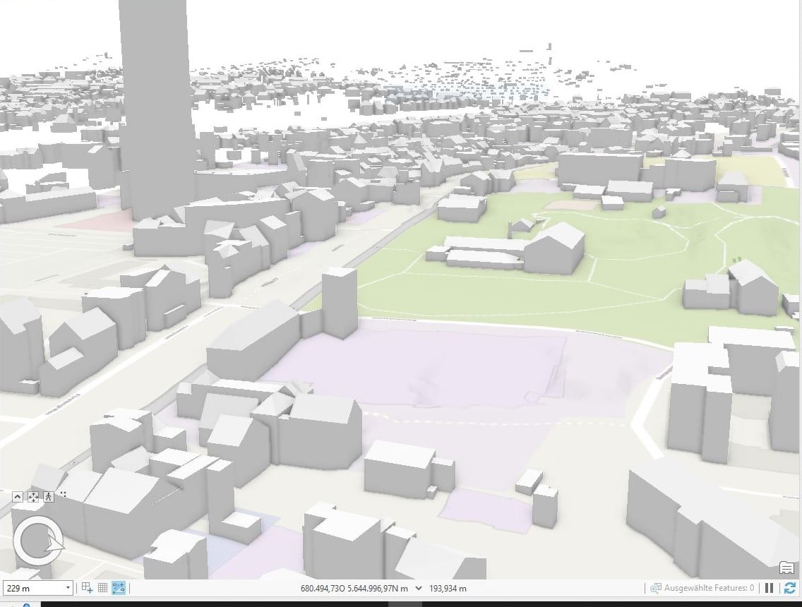
I am trying to build my own 3D model with buildings and terrain in ArcGIS Pro 3.0.3. The data I'm using is open source, I have used the available DTM and the buildings as .gml. They are from the same source.
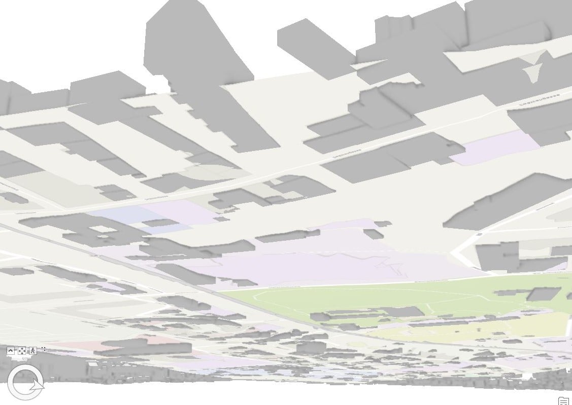
When I look at the result, the 3D buildings either float or the sink into the ground. I attached two screenshots of how it looks from the top and from beyond the DTM. As far as I have the information, the 3D-buildings were build on the basis of the DTM I am using.
Has anybody an idea, why my buildings are not directly placed on the terrain? I would appreciate any kind of help!
Thank you very much.